During a trip to Northumberland, it was completely by accident that we stumbled upon Kielder Viaduct and learned of its history. Construction of the viaduct took place between 1858 and 1862 with the purpose of extending the Border Counties Railway across the River North Tyne and the border into Scotland. Two years before the completion of the viaduct, the Border Counties Railway was absorbed by the North British Railway. The BCR connected Hexham in Northumberland with Riccarton Junction in Roxburghshire, Scotland.
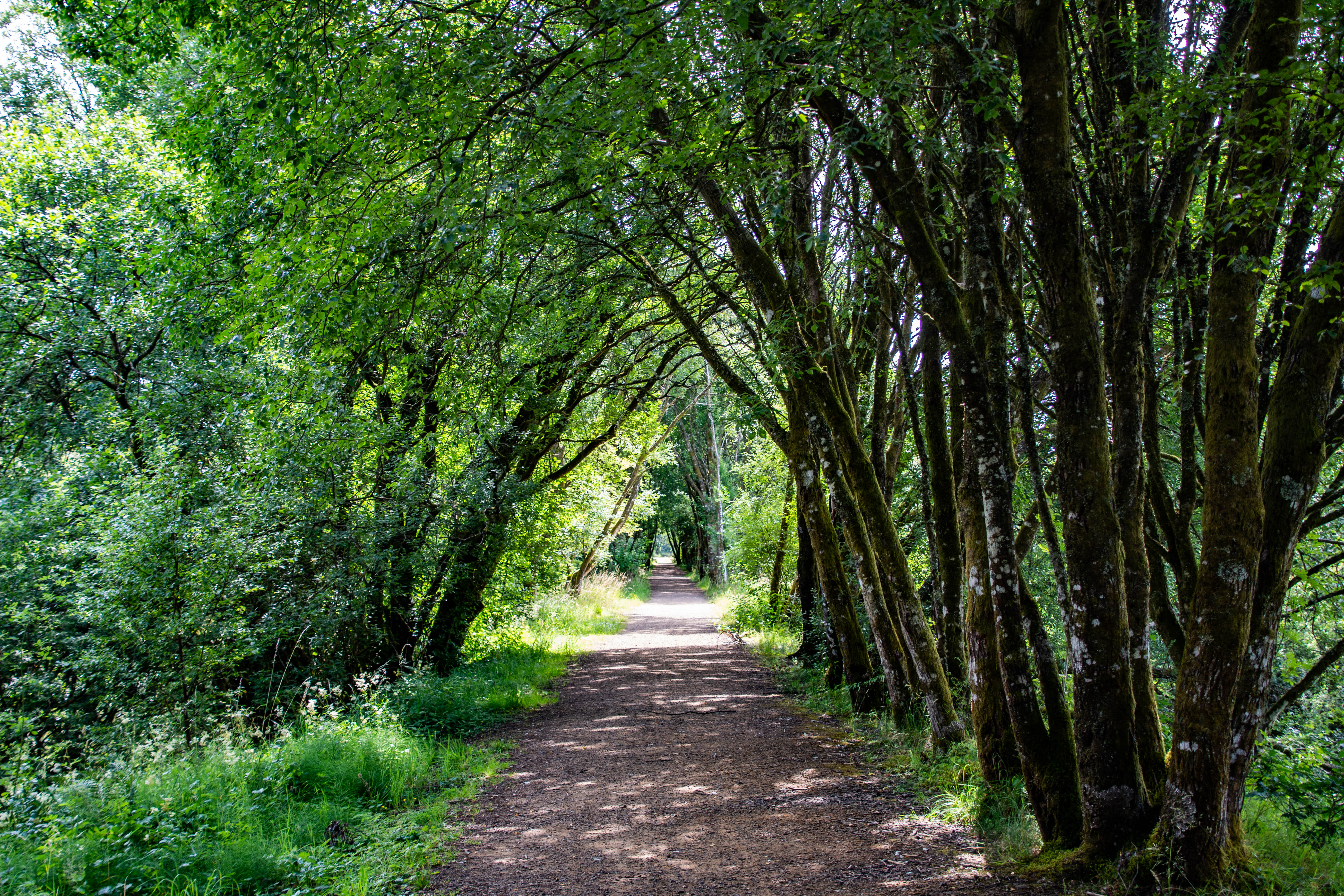
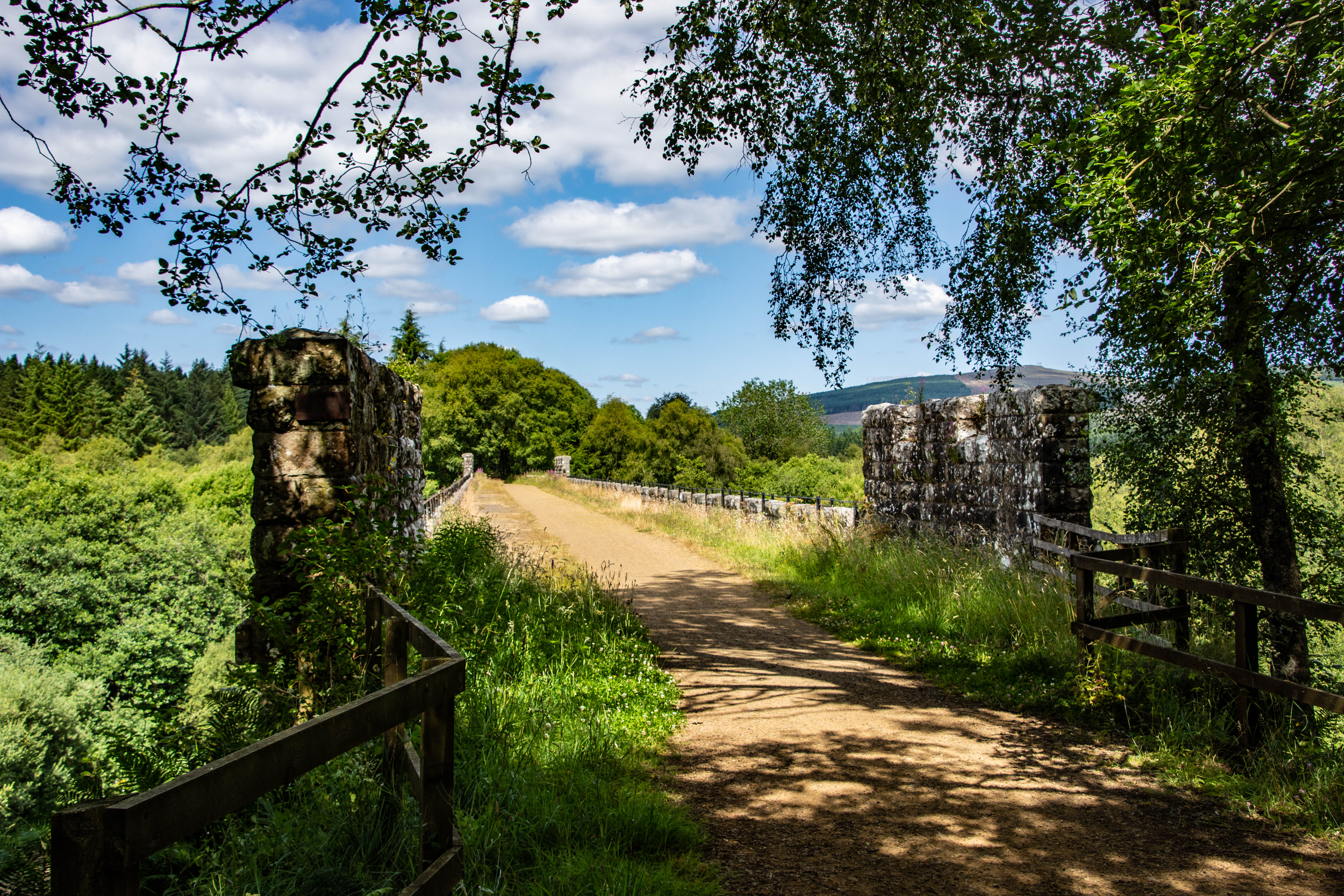
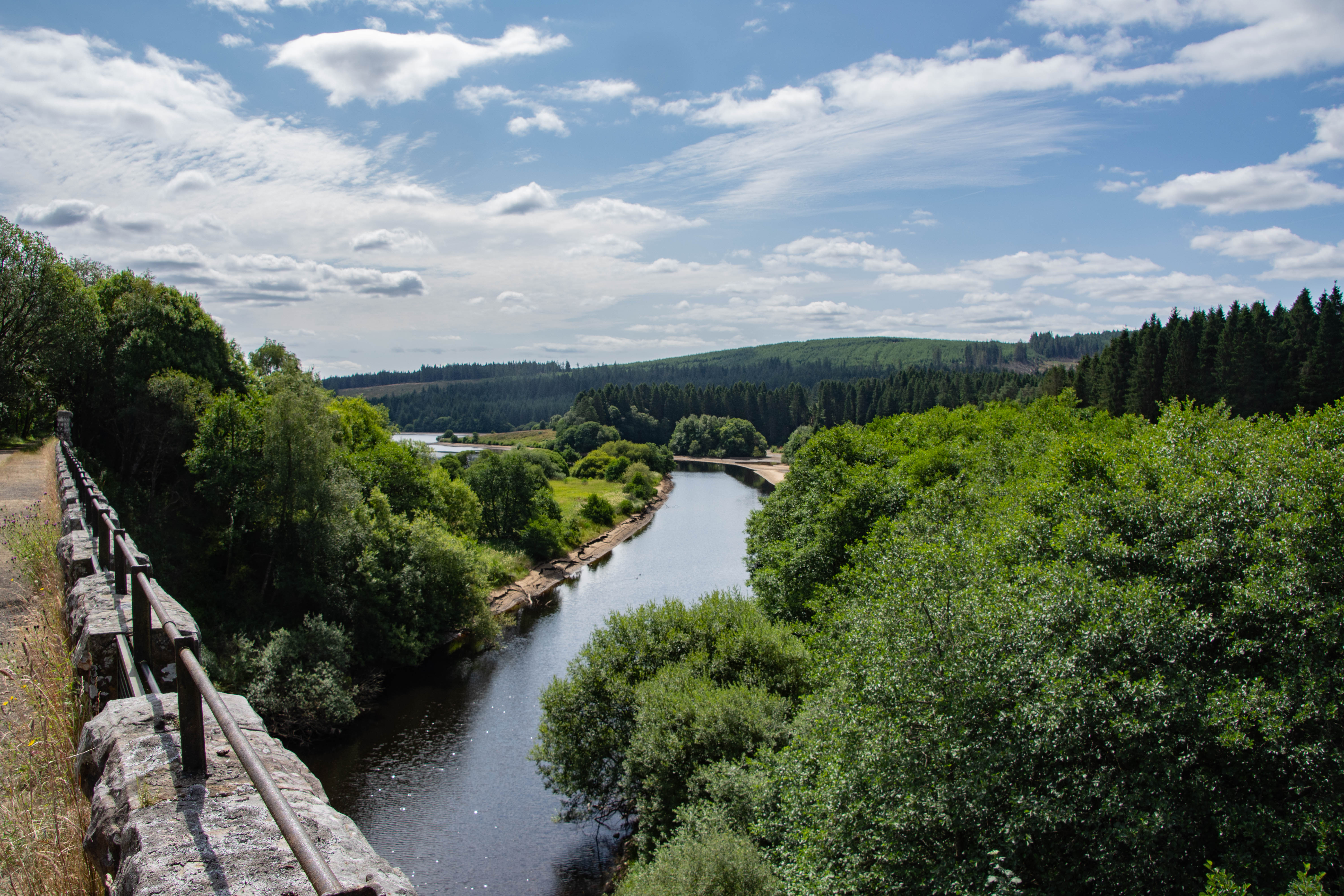
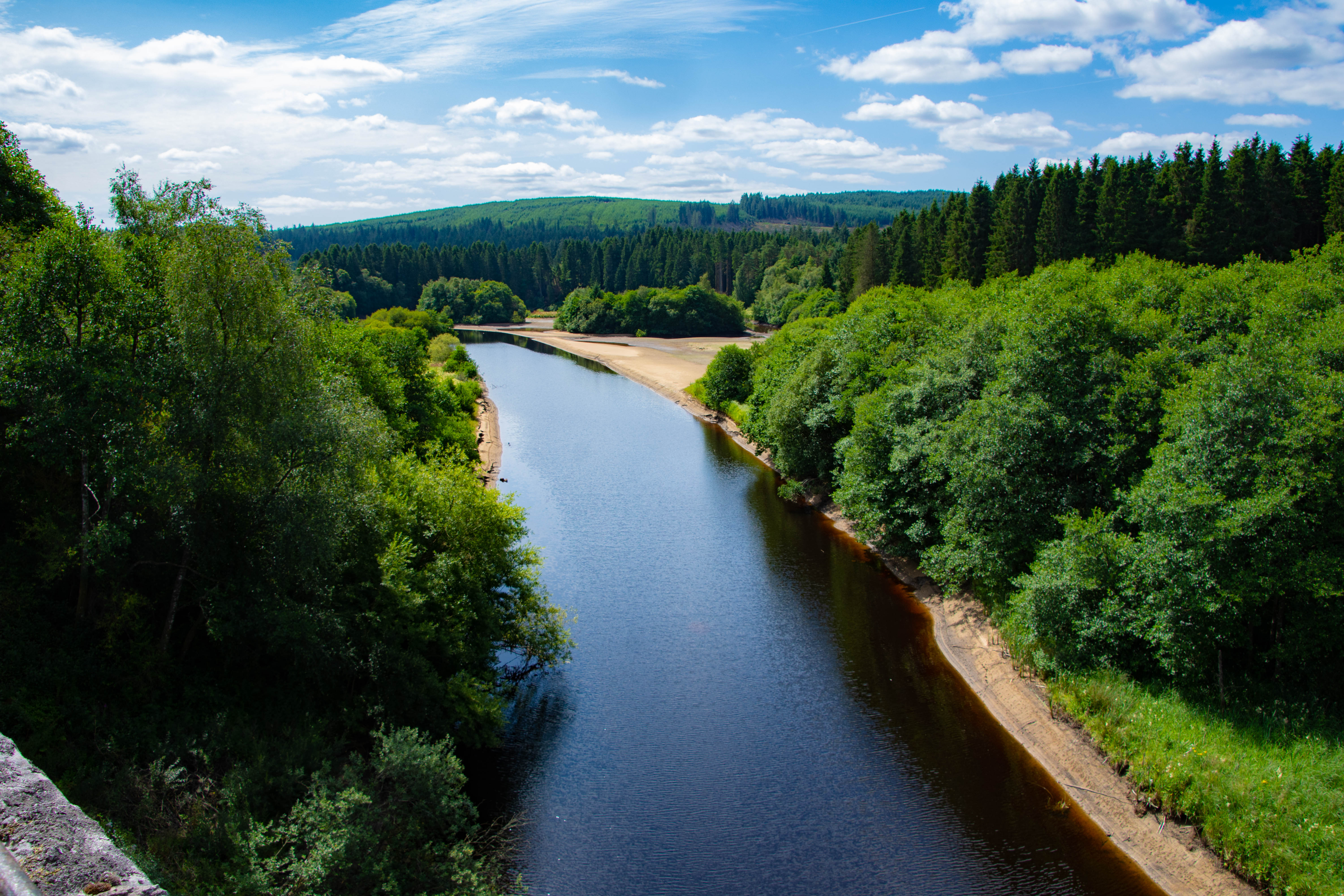
The viaduct sits in the heart of what is now the Kielder forest and the walk to get there is incredibly pleasant. The North Tyne Valley which the viaduct traversed used to have a number of mines, quarries and farms which were all served by the line but these all sit underwater now under the now Kielder Water Reservoir (More on this later). There are no more train tracks here but the canopy of trees which line the perfectly straight embankment are a giveaway sign that a railway used to be here. As the viaduct comes into view, the trees drop away and we are met with a spectacular view of the Kielder Burn flowing beneath it which feeds the Bakethin Reservoir.
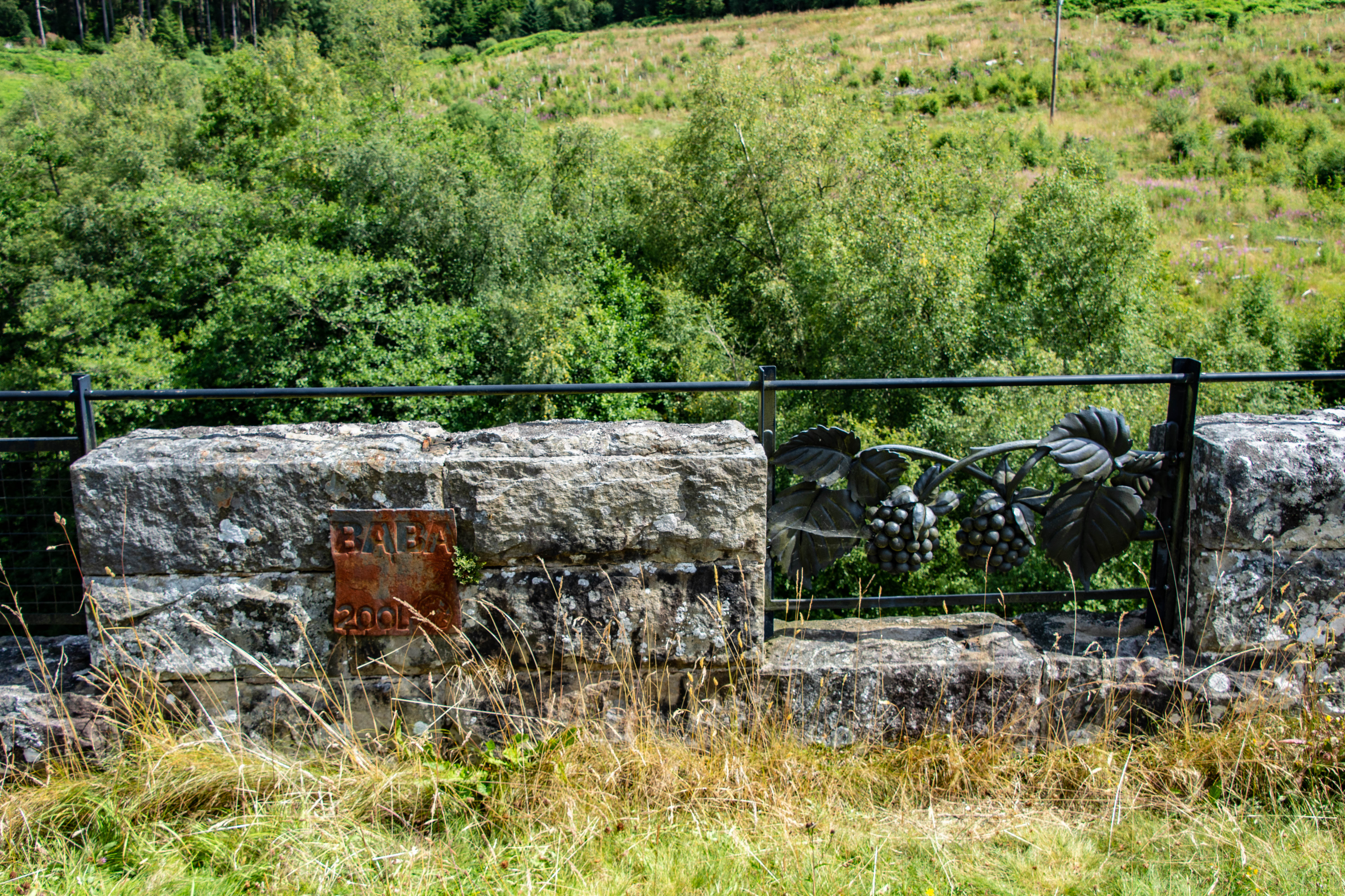
Along the side of the viaduct, and only visible if you are walking on top of it, are 8 ironwork panels which all celebrate the local history and the railway. These were forged by about 60 blacksmiths and installed in 2003 from the drawings of local people. One of these can be seen below on the left depicting a pair of blackberries.
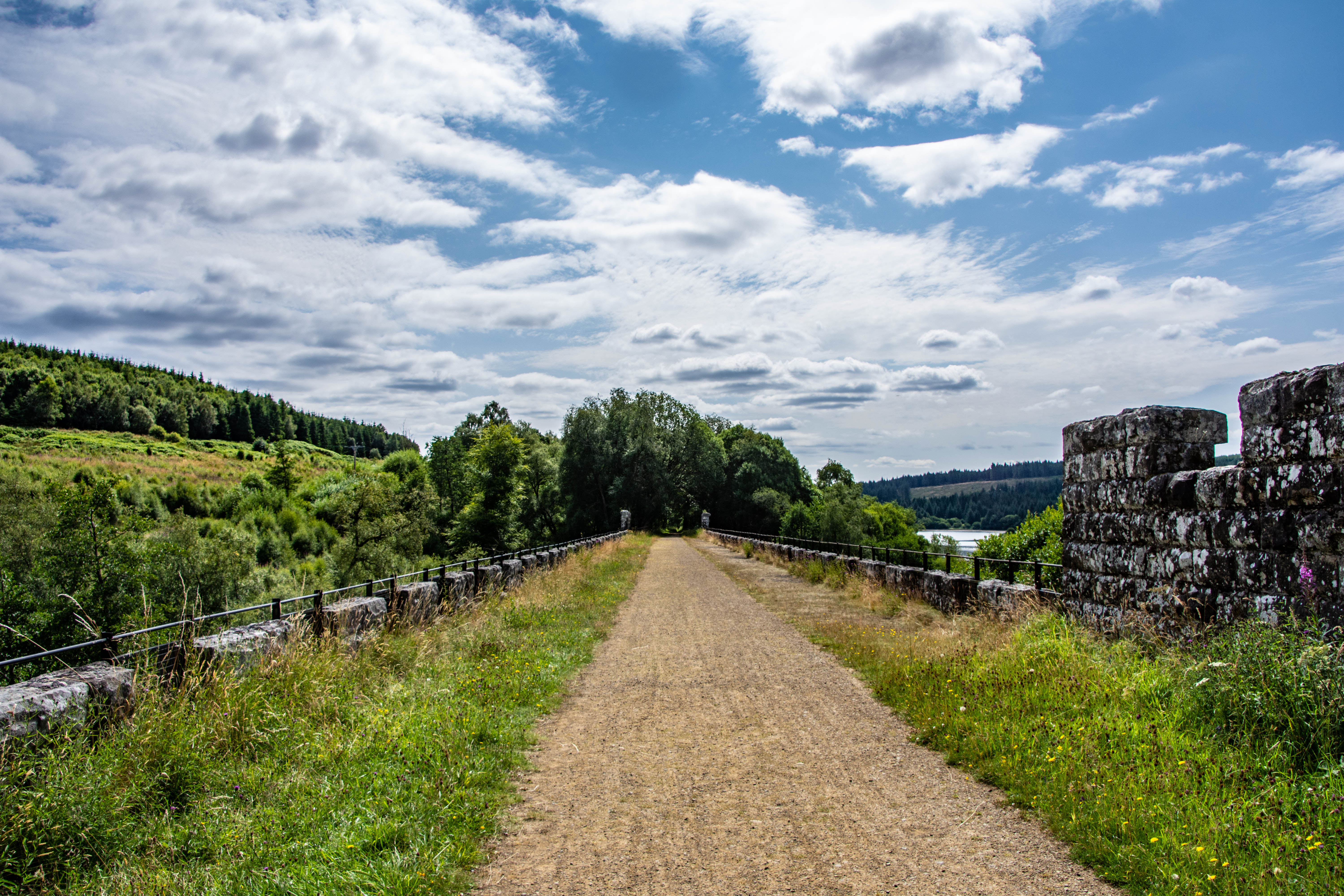
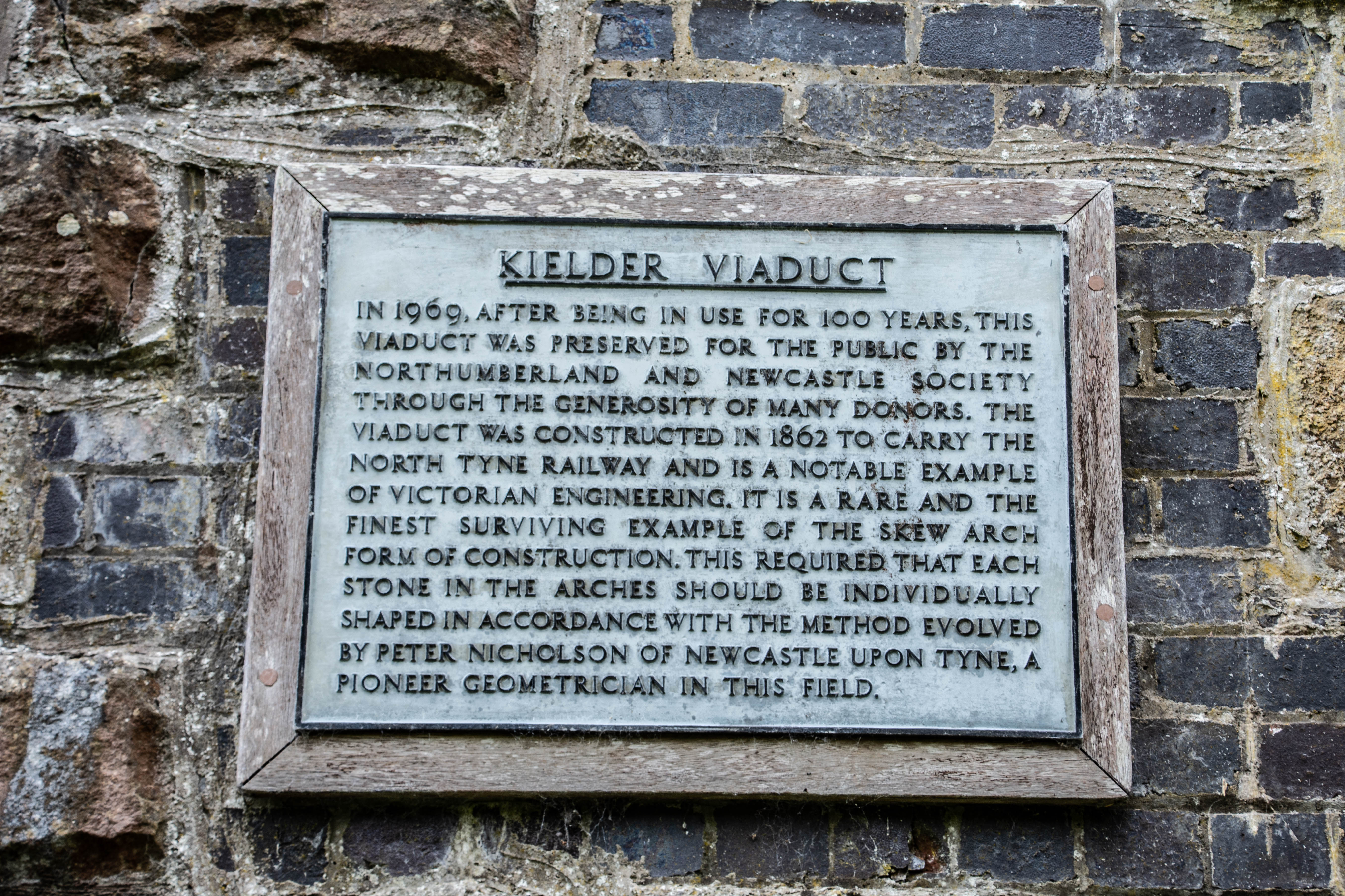
It was originally assumed that the northern areas that the railway reached were mineral-rich, and the railway hoped to capitalise on this boon as well as traffic from the nearby Plashetts colliery just to the south east of Kielder. Sadly it wasn’t to be and the anticipated levels of commercial traffic never materialised. As a result of this, the line closed to passengers in 1956 and then completely to all other traffic in 1963. By 1969, the viaduct had fallen into disuse and was acquired by the Forestry Commission who had plans to demolish it. It is at this point that the Northumberland and Newcastle Society stepped in and purchased the viaduct for the nominal sum of just £1 to save it from destruction.
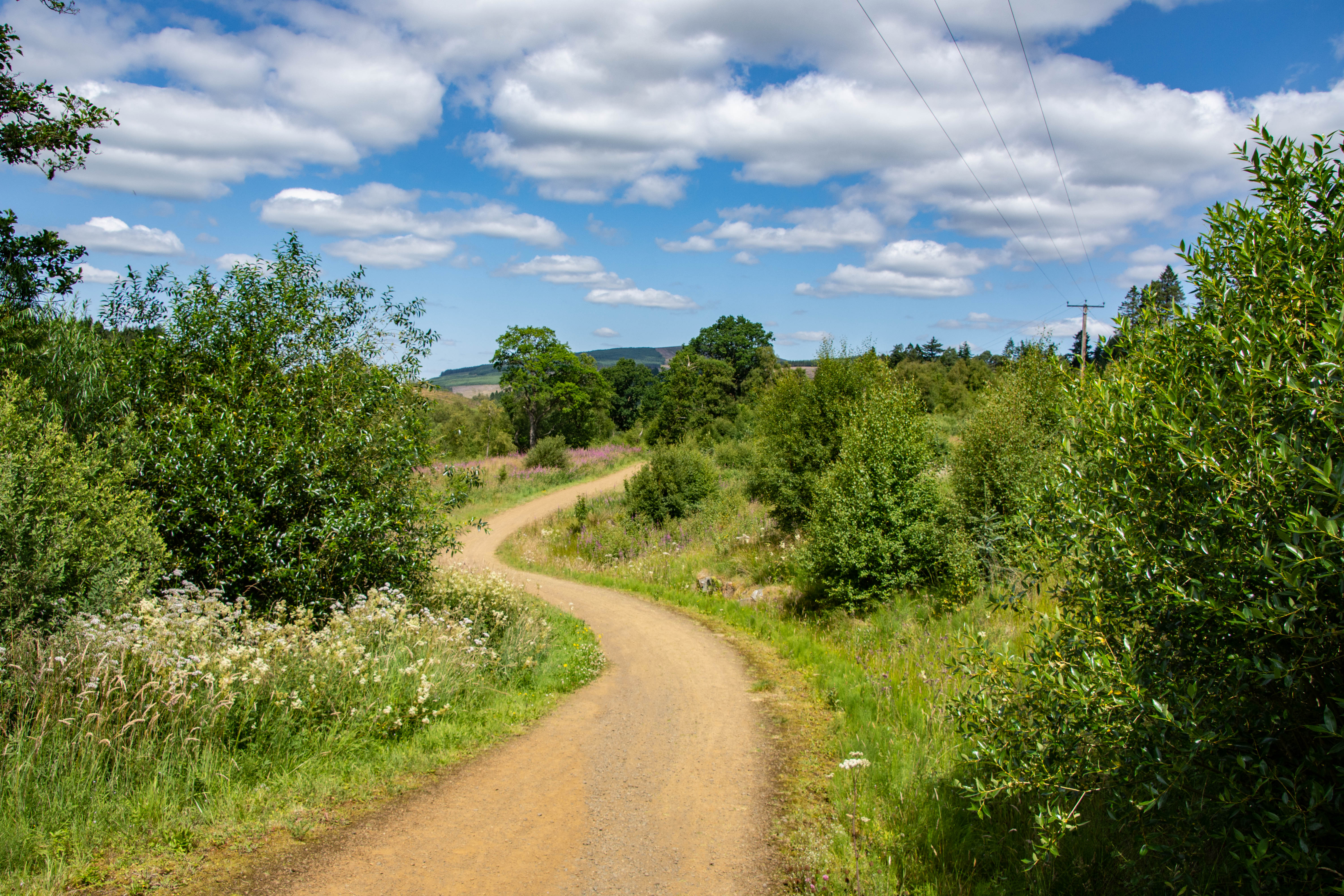
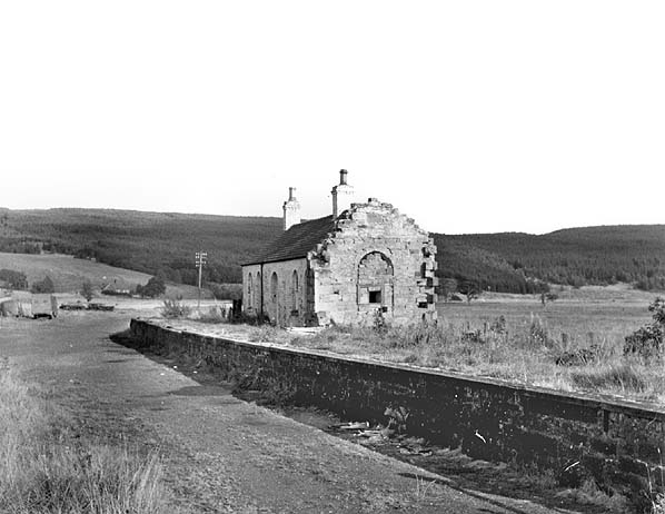
The forest did not always occupy this space and was actually planted by the Forestry Commission back in 1920s. To the north of the viaduct used to be Kielder Forest station which was closed in 1956. The station still exists today but has been converted into a private cottage.
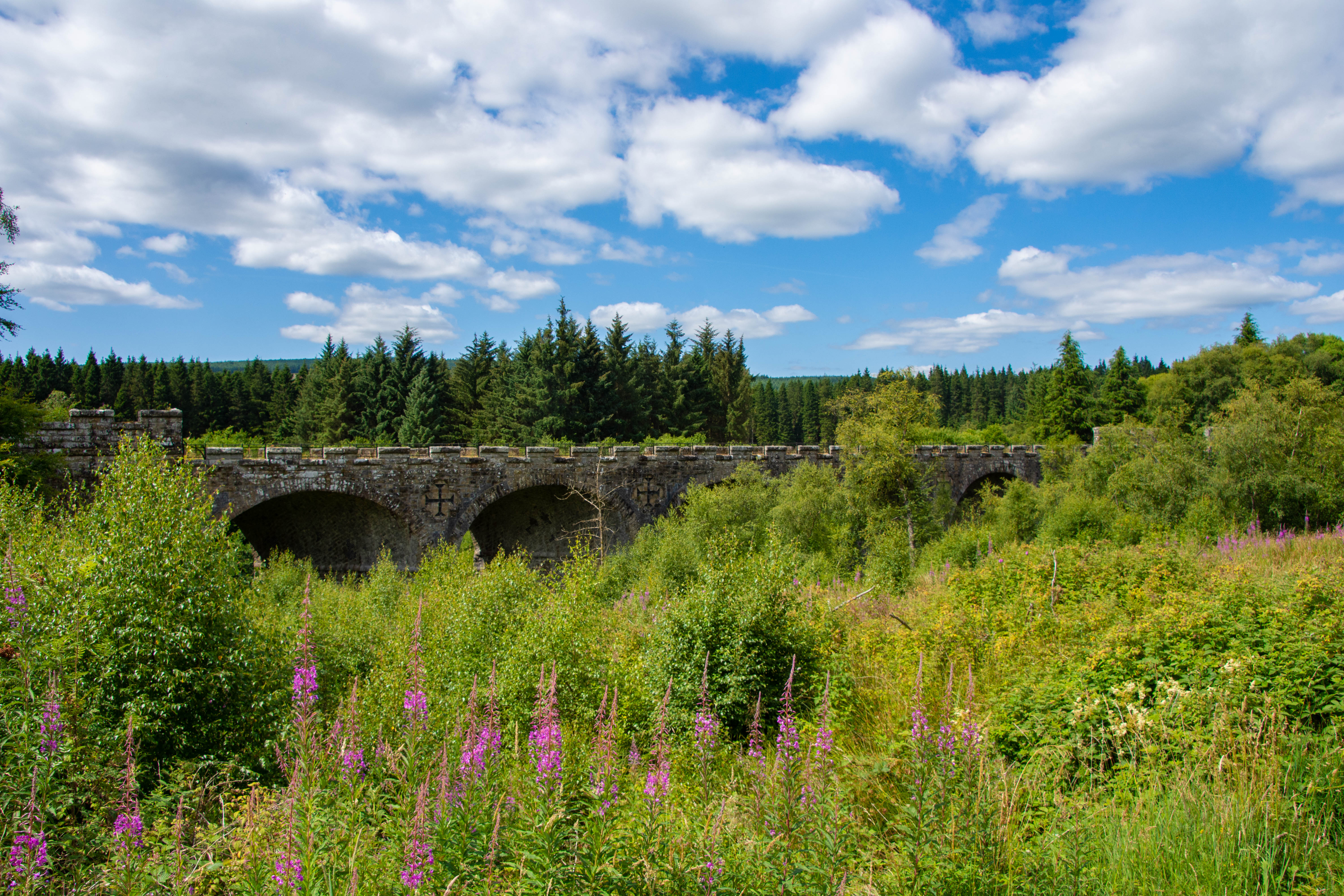
At the time of construction of the viaduct, the Duke of Northumberland was the local land owner and had a shooting lodge nearby the site. In order to gain his approval for the construction, the viaduct was built in a Gothic-Baronial style to fit in with the other buildings at the time and decorated with a battlemented parapet and faux arrow slits You can see the battlement design a bit better when viewing the viaduct from the ground.
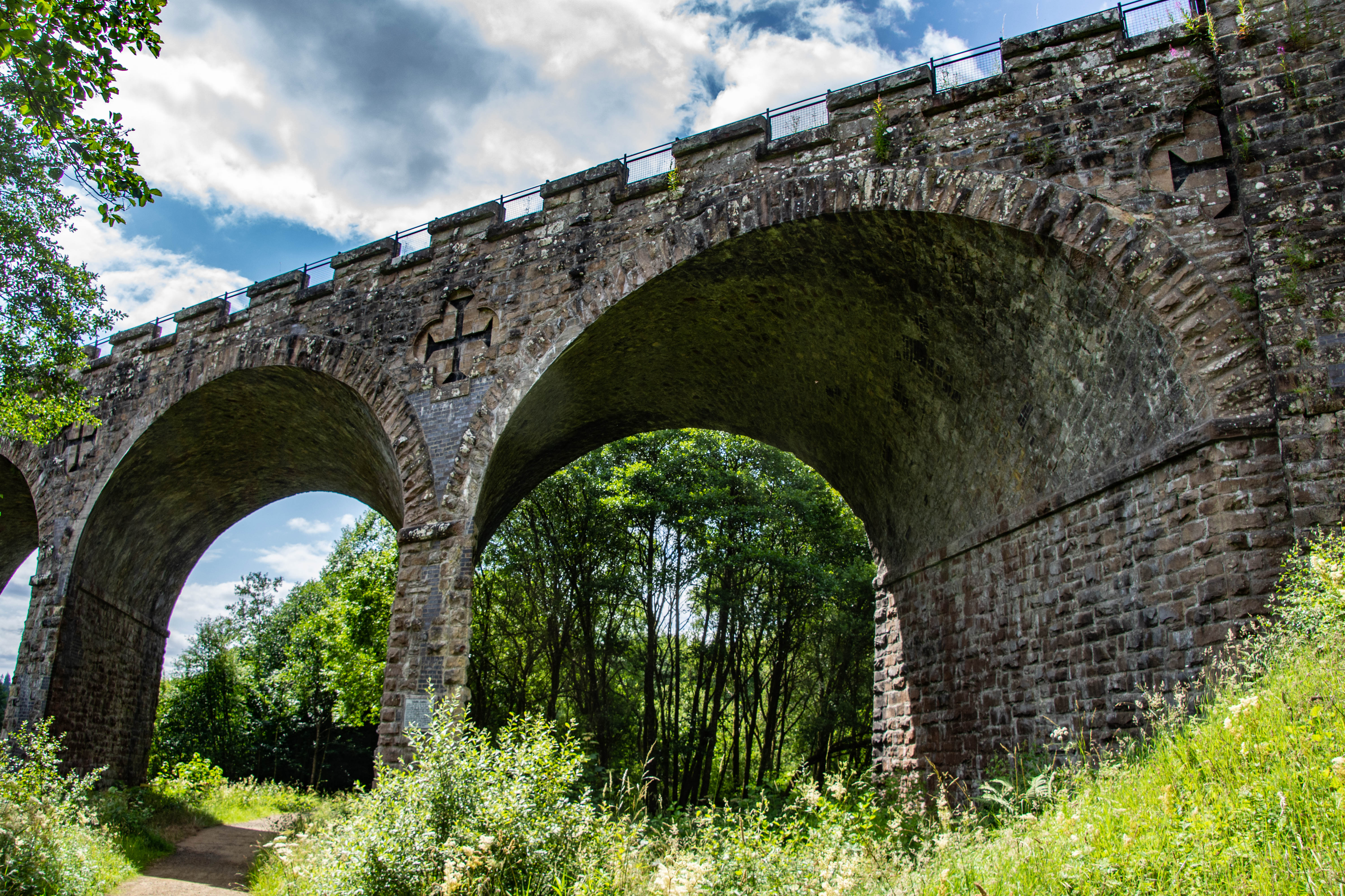
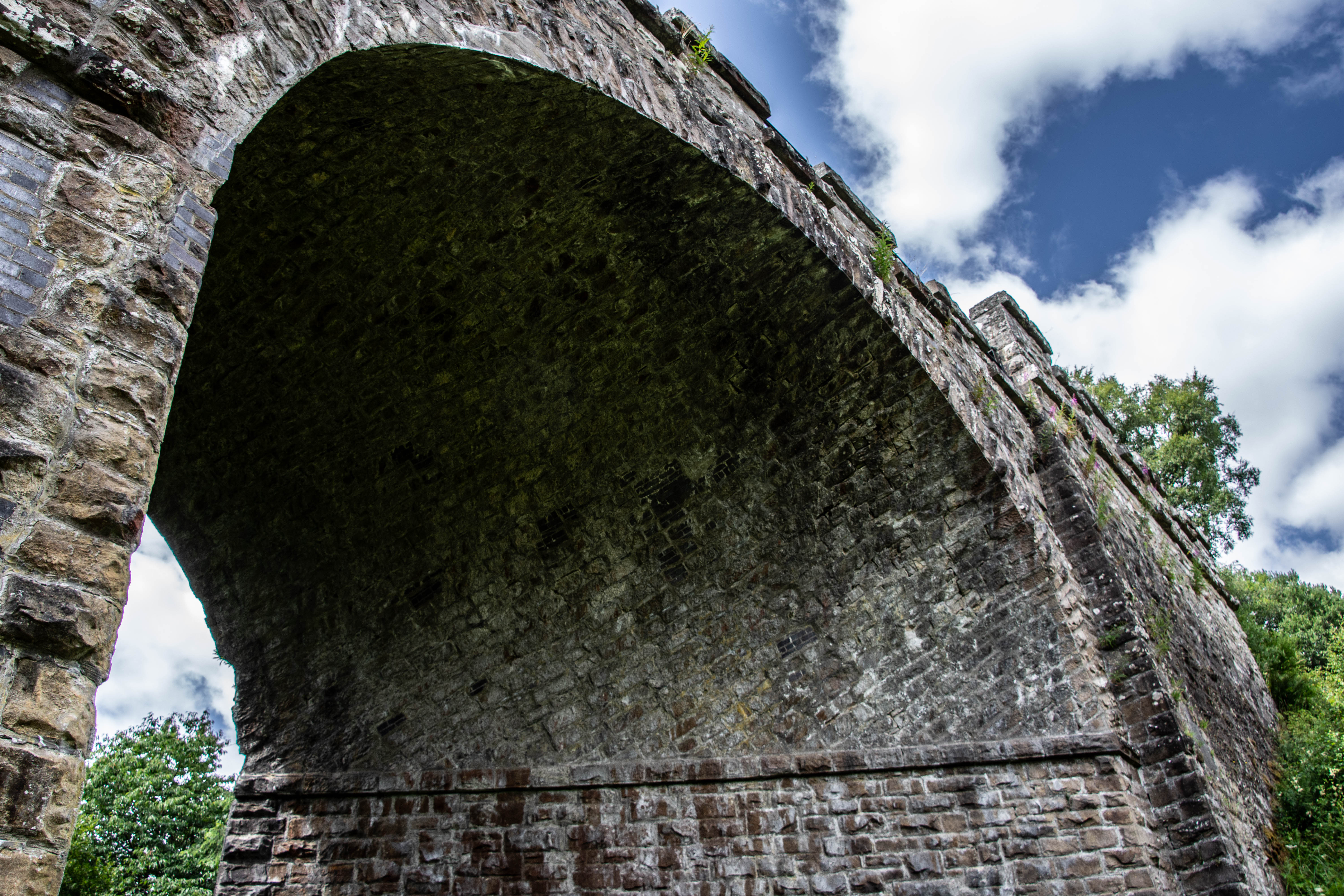
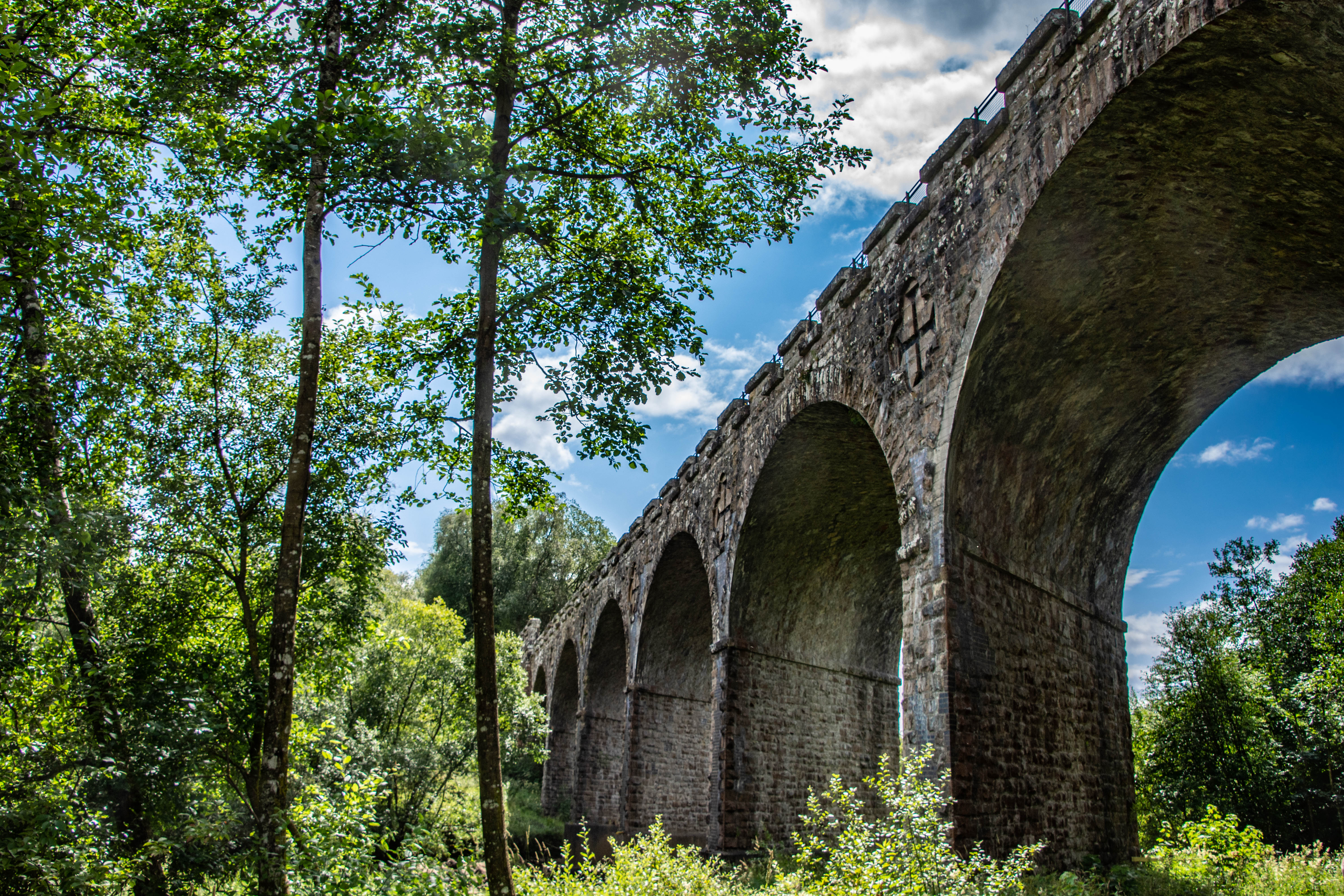
You can see from the design of the viaduct, this was not a simple project to complete. The seven arches which span the river are constructed at a skewed angle and the stones laid along helical courses as apposed to the traditional regular parallel course arch design. The reason for the choice of design is due to the viaduct needing to run a parallel course up the valley, which required the viaduct to cross the water at a skewed angle. The geometry of this is incredibly impressive and the mathematical skill to calculate that is astounding. At the base of one of the arches, a plaque has been installed which commemorates this design.
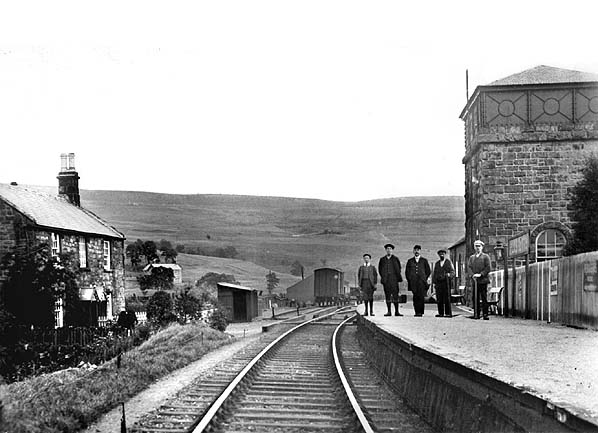
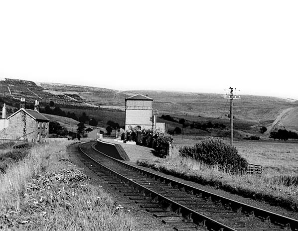
In the late 1960s, the UK government foresaw a looming problem and were anticipating a surge in water demand from the booming heavy industries such as steel and chemical plants as well as a growing domestic population. The Kielder Valley was identified as a location which received twice the national average rainfall and in 1976, the North Tyne Valley which was once home to a thriving, albeit declining rural and industrial community was flooded in order to create the Kielder Water reservoir. This action displaced about 95 residents, tearing down homes, drowning several working farms, a school and the remnants of the local mining industry. Not only that, but the Border Counties Railway also extended to Plashetts railway station which served that very community. Although all the buildings were demolished before the water levels rose, it’s incredible to think that below the reservoir today are the remnants of what used to be an entire community and the serving railway station. In order to protect it into the future and the rising water levels, the main deck of the viaduct was waterproofed and the bases of the piers heavily encased in concrete to cope with the new water levels. It is now a scheduled monument and enjoys a new life as a converted footpath.
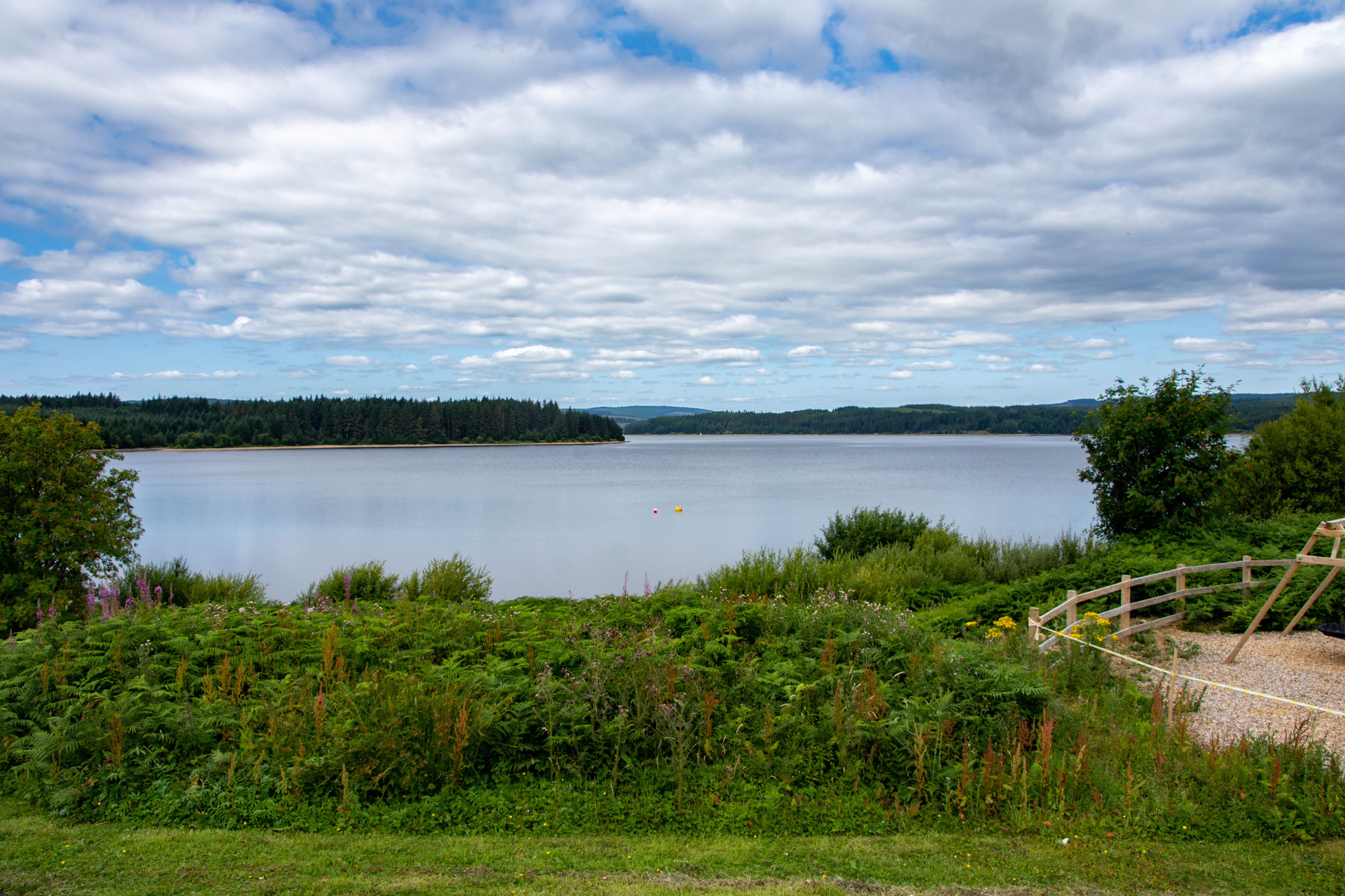
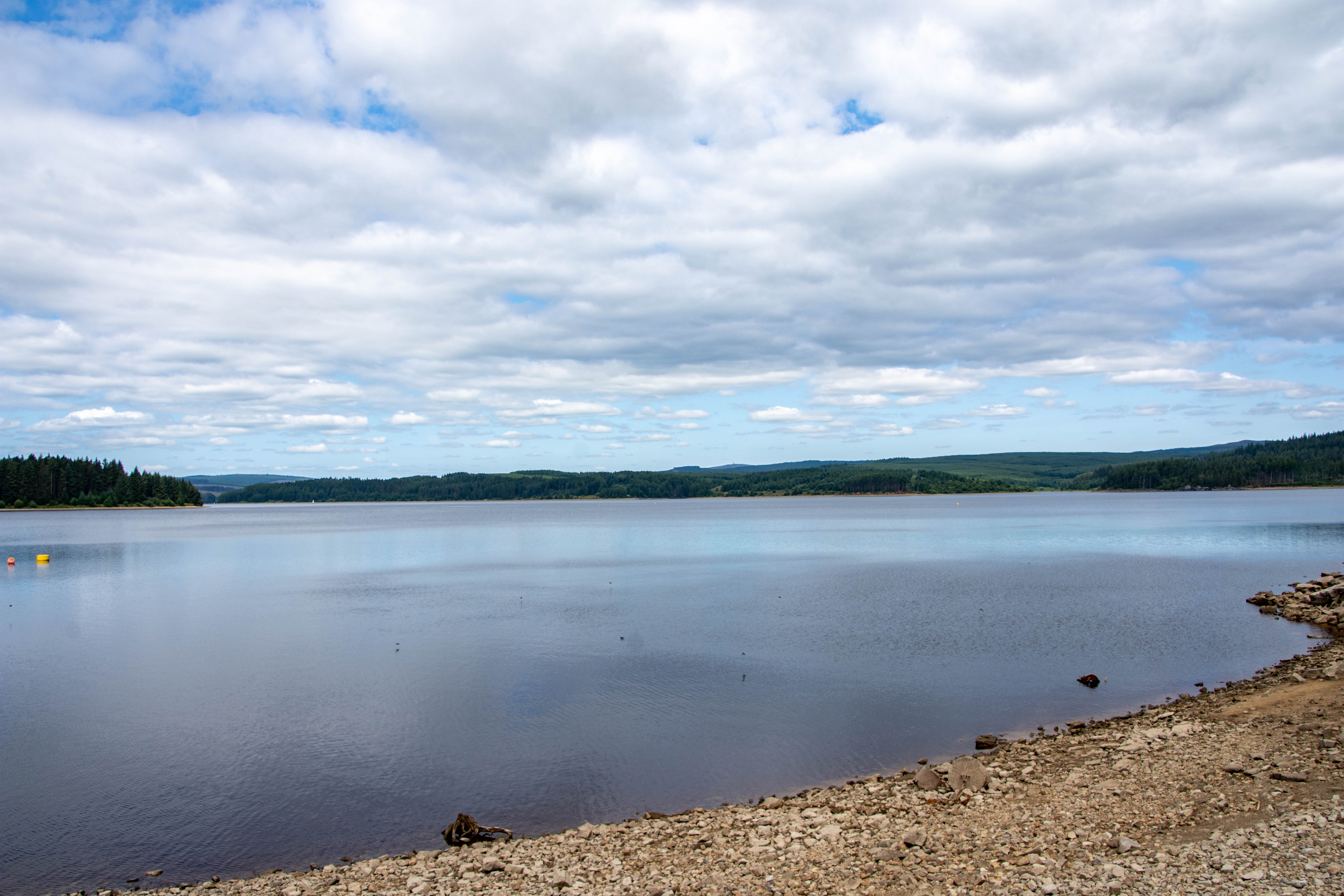
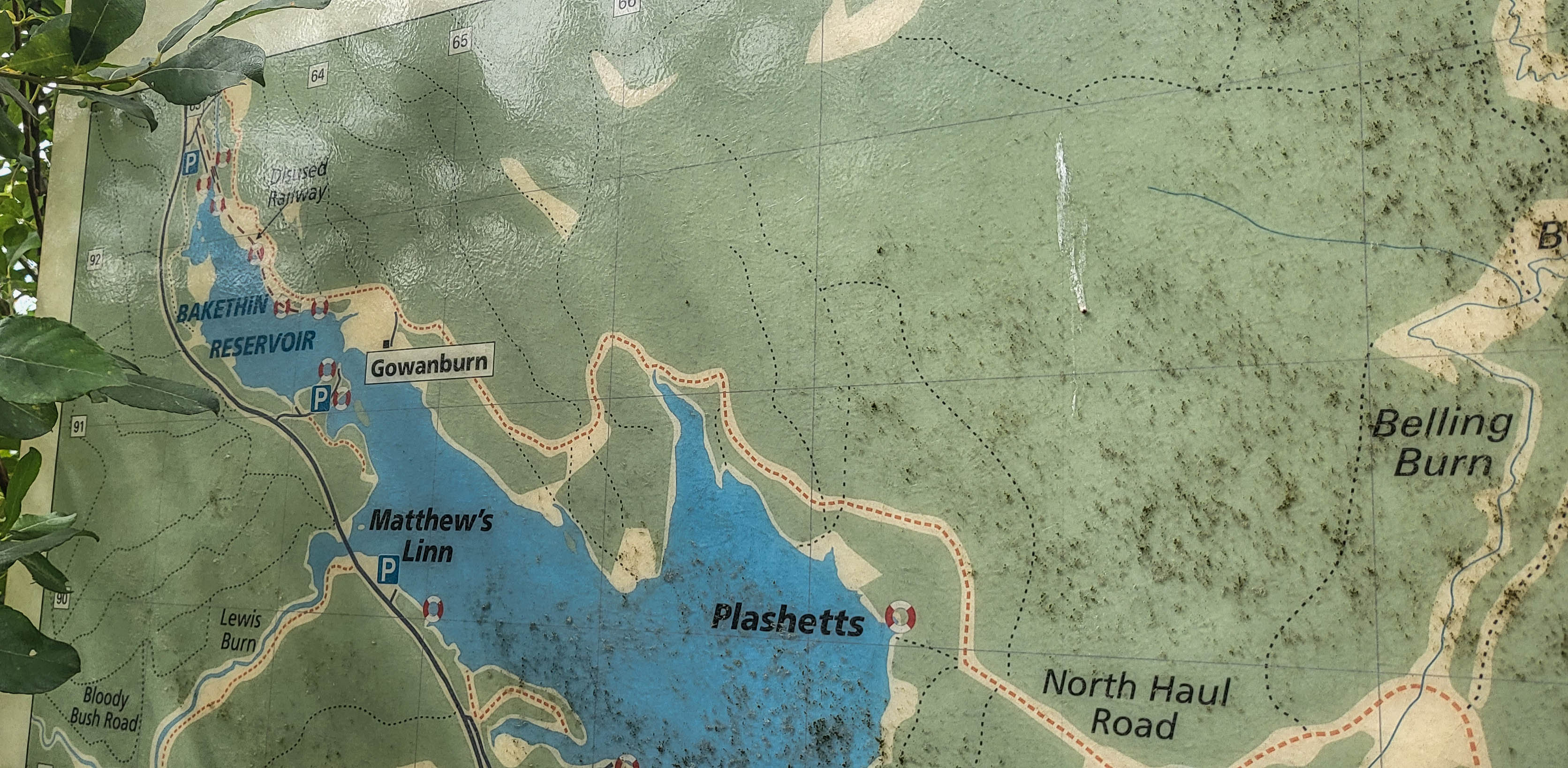
Information boards around the reservoir give you an idea of the geography of the area and help you visualise where the old railway line would have run. As you can see in the top left of the picture, the railway ran along the banks of the Bakethin Reservoir and would have gone into Plashetts to serve the station there.
I find it staggering that all this history is now lost below millions of gallons of water and an entire community displaced but the problems faced by the government then are not new and we see something similar in todays age with the rise of AI and demand for electricity generation to power the datacenters which provide these computing services. NIMBY-ism prevents on-shore solar and wind farms from being built in any sort of significant quantity so one has to ask the question if the actions of the 1960s will be repeated in some form, somewhere, to ensure that this demand can be met into the future. I leave you with these archive pictures of Plashetts Station, now lost forever to the murky depths of Kielder Water Reservoir.