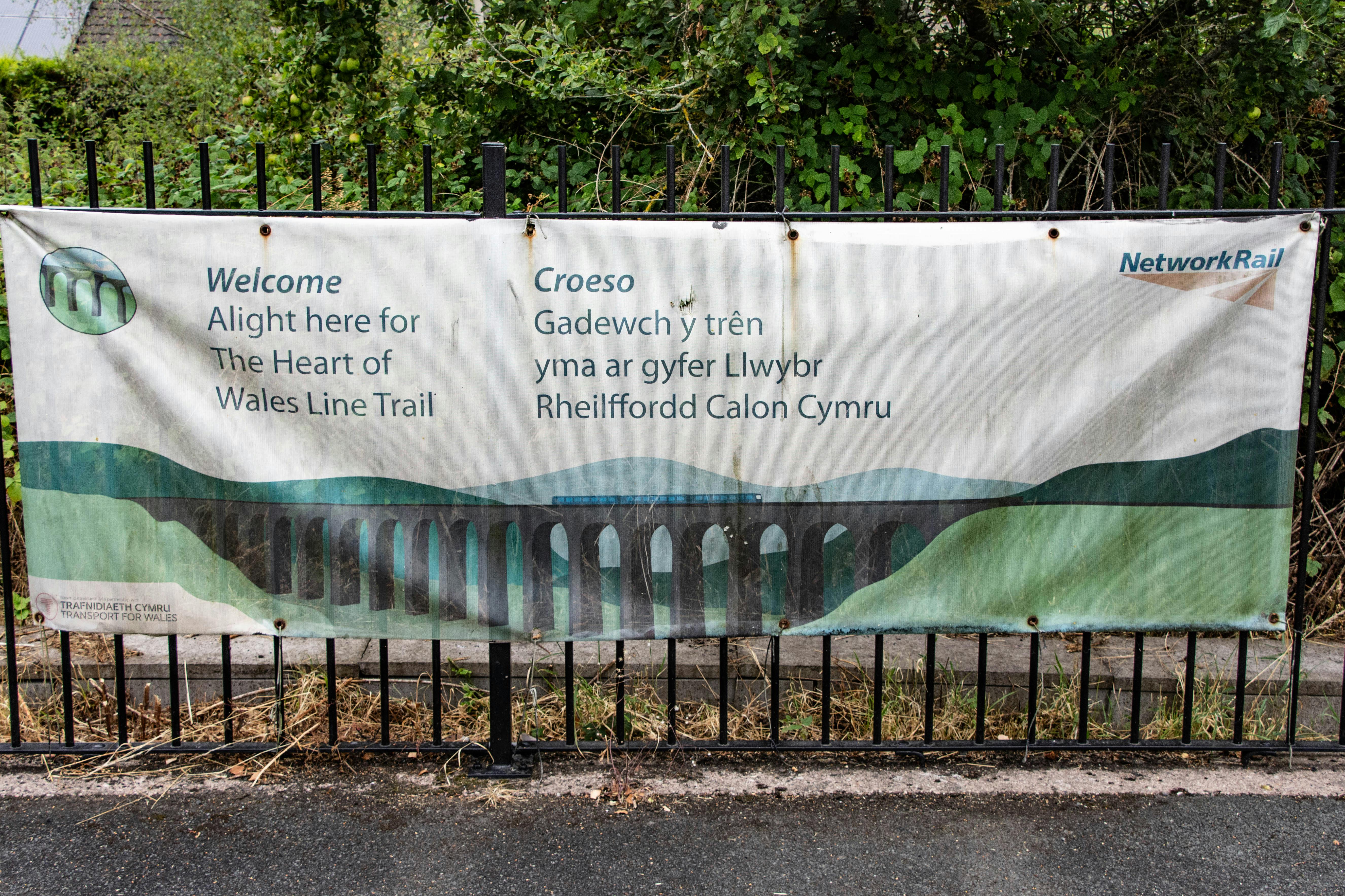
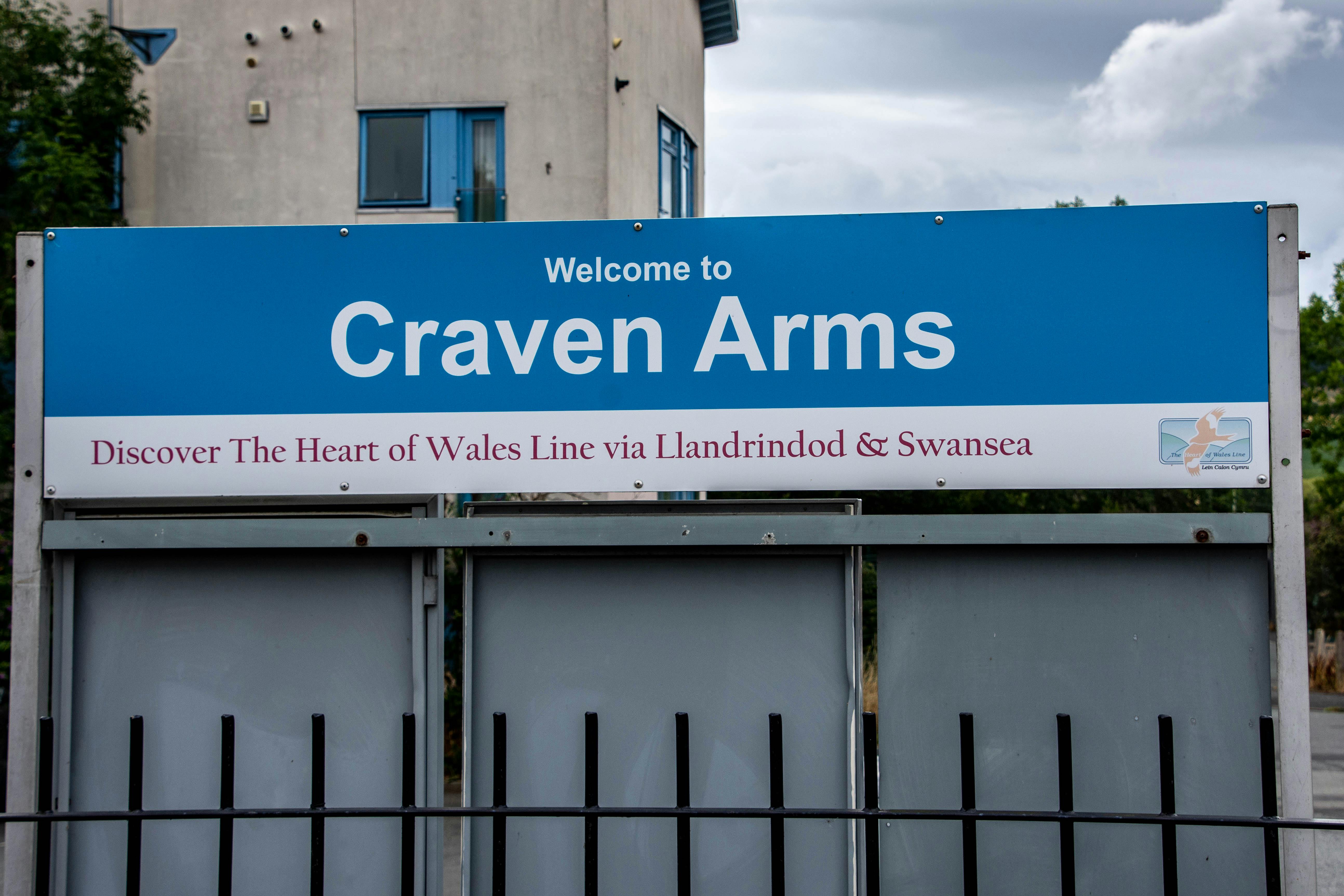
Todays adventure was supposed to be going the whole length of the Heart of Wales line from Craven Arms station down to Swansea however due to staff shortages, our train was only going to go as far as Llandrindod. Our journey today is partly by train as far as Llandrindod and then by car to a few select locations further along the line.
We begin today at Craven Arms, a station situated in Shropshire and is situated on the junction of the Welsh Marches line and the Heart of Wales line. The Welsh Marches lines is a more direct and thus quicker route to take to get into Newport and Swansea as well as serving into Hereford, whereas the Heart of Wales line takes in stations in remote and rural locations which considerably increases the journey time. The scenery however is spectacular and is largely untouched by urban or industrial development.
Craven Arms
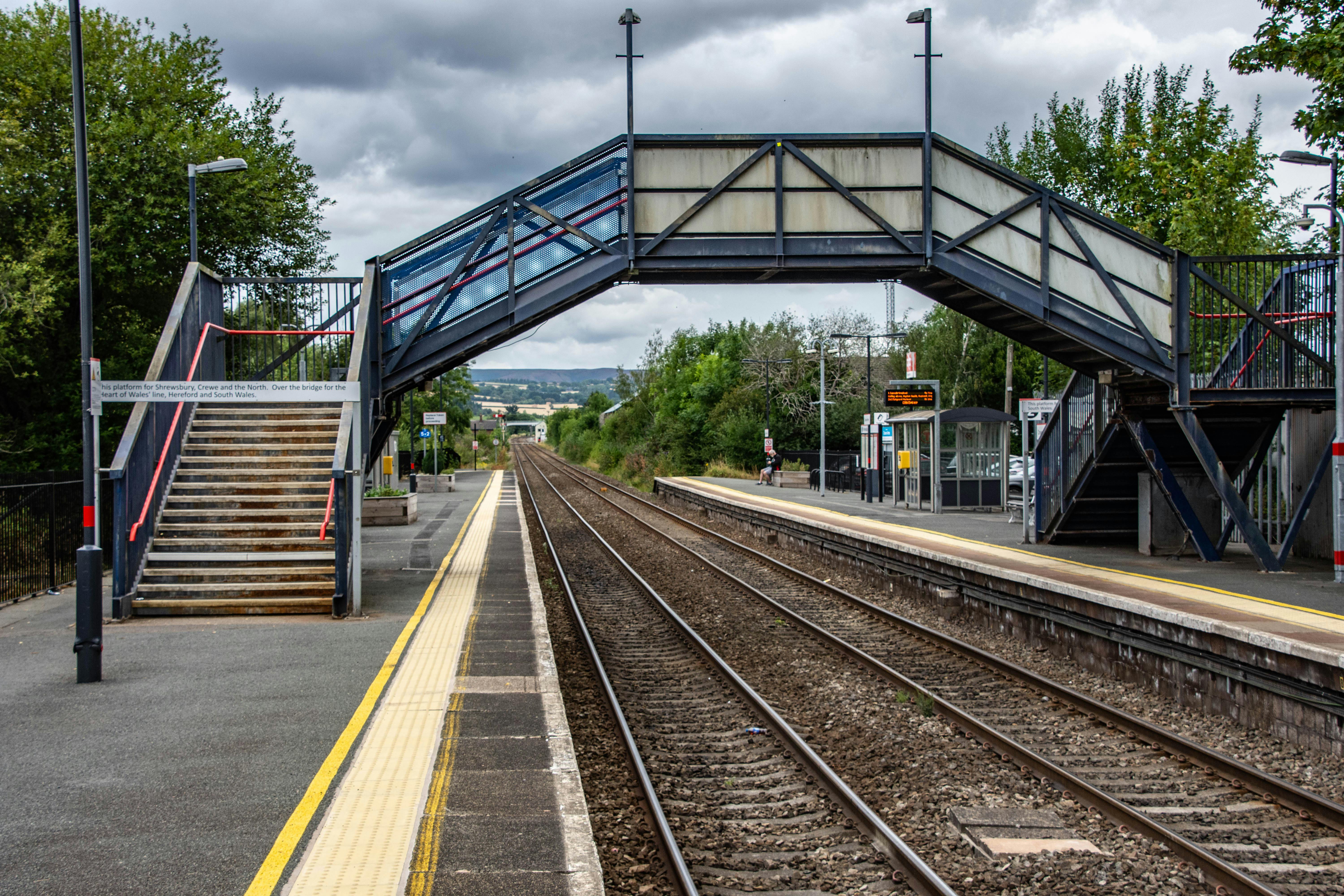
You’ll notice above that the section of line looking north from Craven Arms towards Shrewsbury still has semaphore signals which was surprising to see. Craven Arms was opened in 1852 by the Shrewsbury and Hereford Railway and was originally called Craven Arms and Stokesay up until 1974. Between 1858 and 1861, The Knighton Railway constructed three branches from the main line which ended up making Craven Arms both a terminus for some of these branches and an intermediate station on the Shrewsbury and Hereford Railway. At the time, there used to be carriage sheds adjacent to the station, however all that remains now is the Craven Arms signal box to the north end of the station by the level crossing which you can see below in the distance.
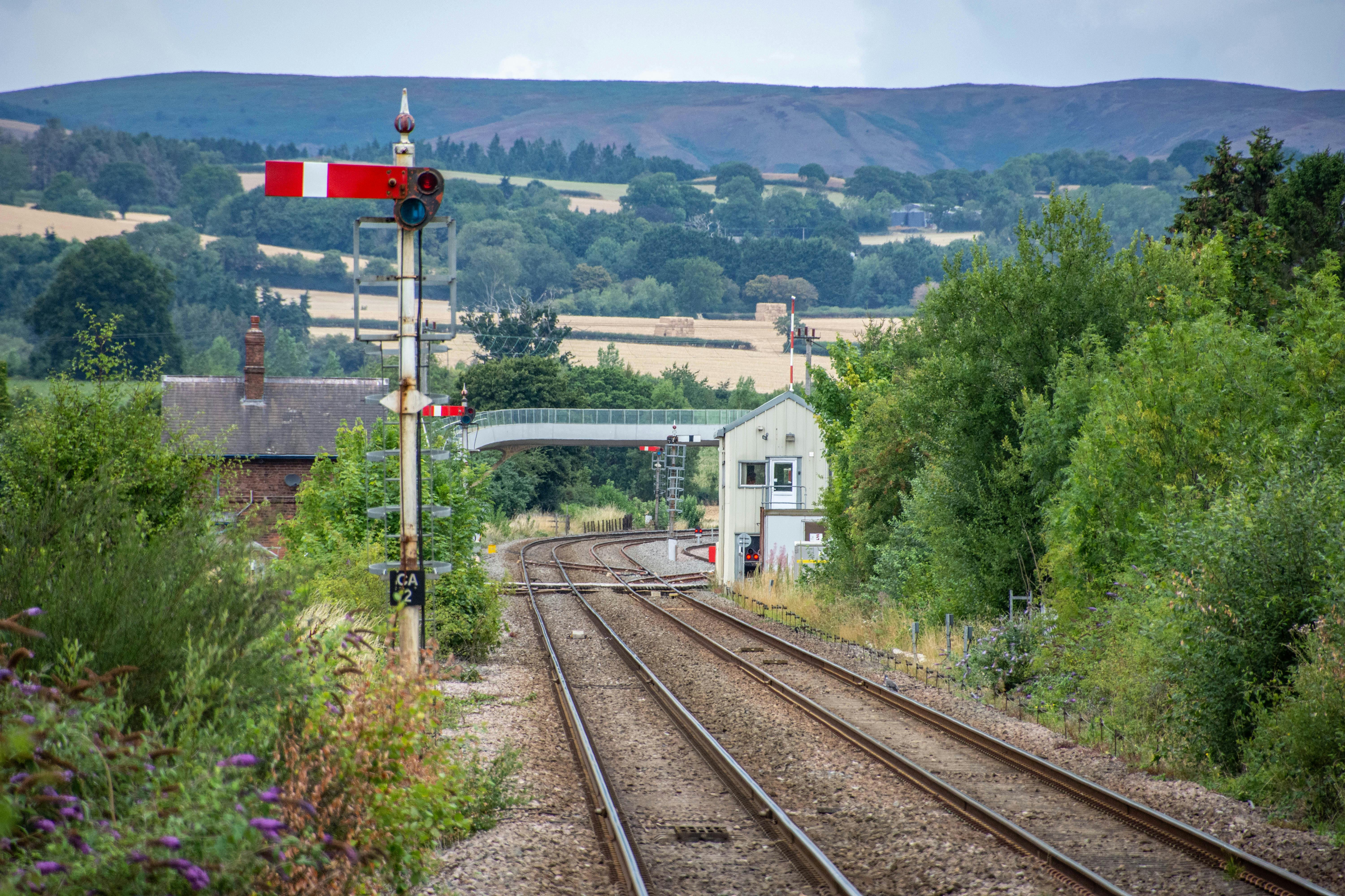
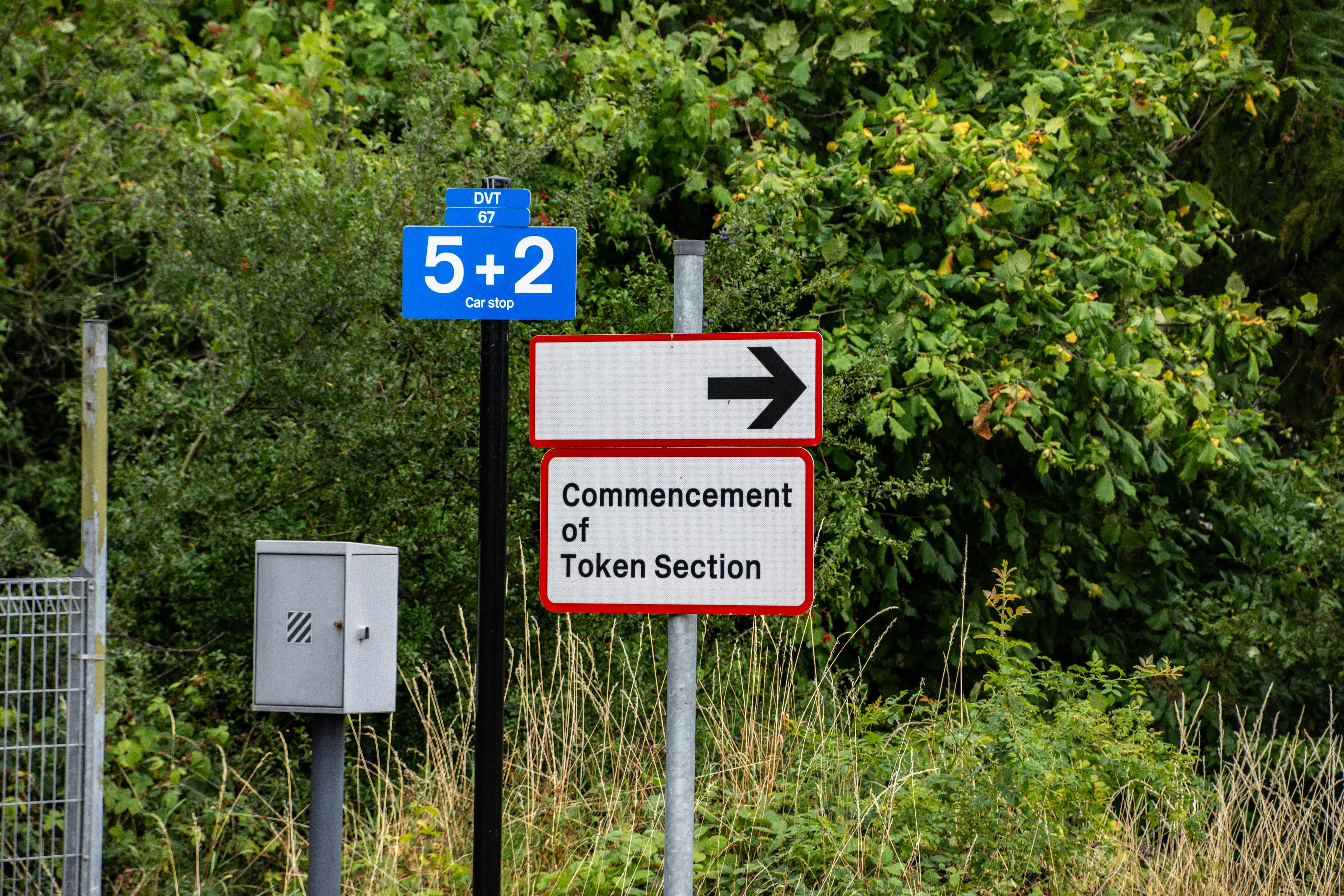
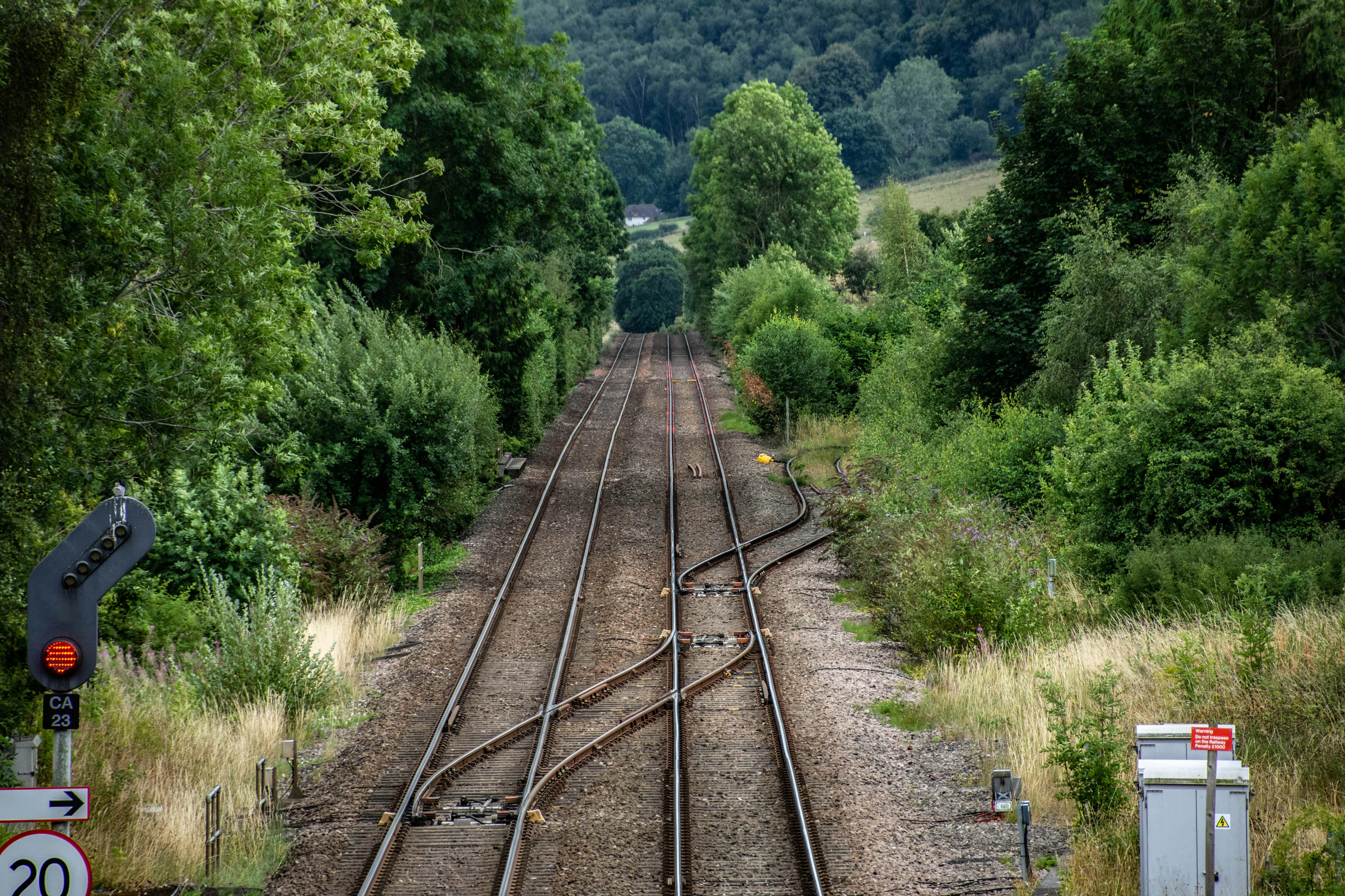
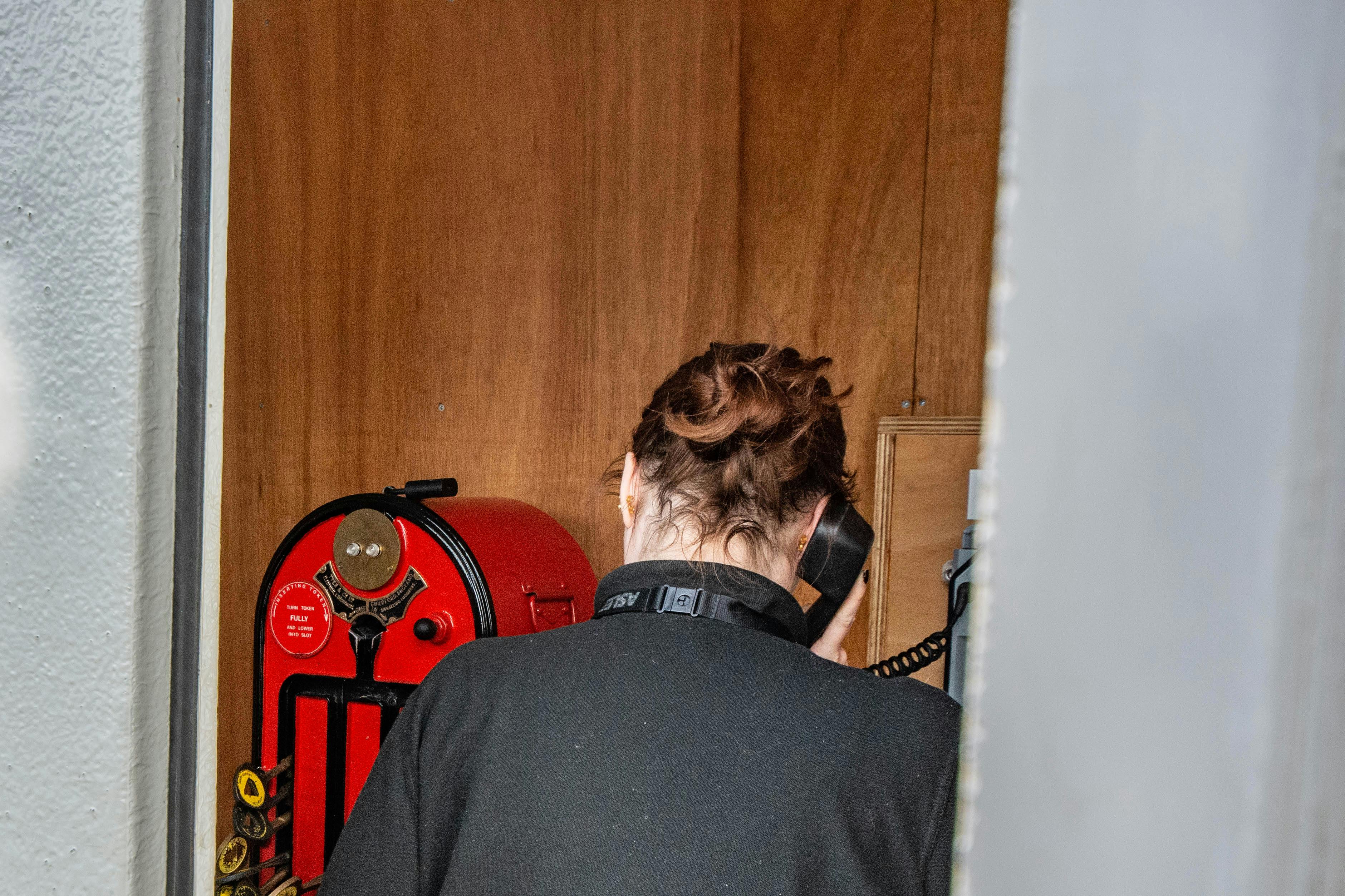
Looking south from the station, you can see where the branch line begins on the right hand side, and this marks the start of the single line running of the Heart of Wales line. There are only 5 passing loops on the rest of the line from here down to the southern end of the line near Swansea. These are at Knighton, Llandrindod, Llanwrtyd, Llandovery and Llandeilo. The technology used on the line is still a Victorian concept and it was surprising to learn that physical tokens are still in use; the same as those which are used on heritage railways today.
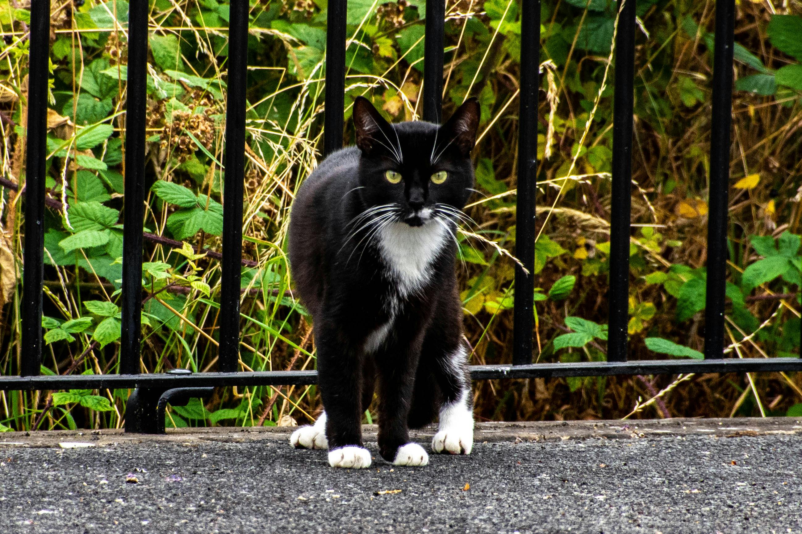
Just before our train got to the station, what I wasn’t expecting to see was a cat very casually strolling along the platform on the far side of the station. Guess he was hoping to get the train as well.
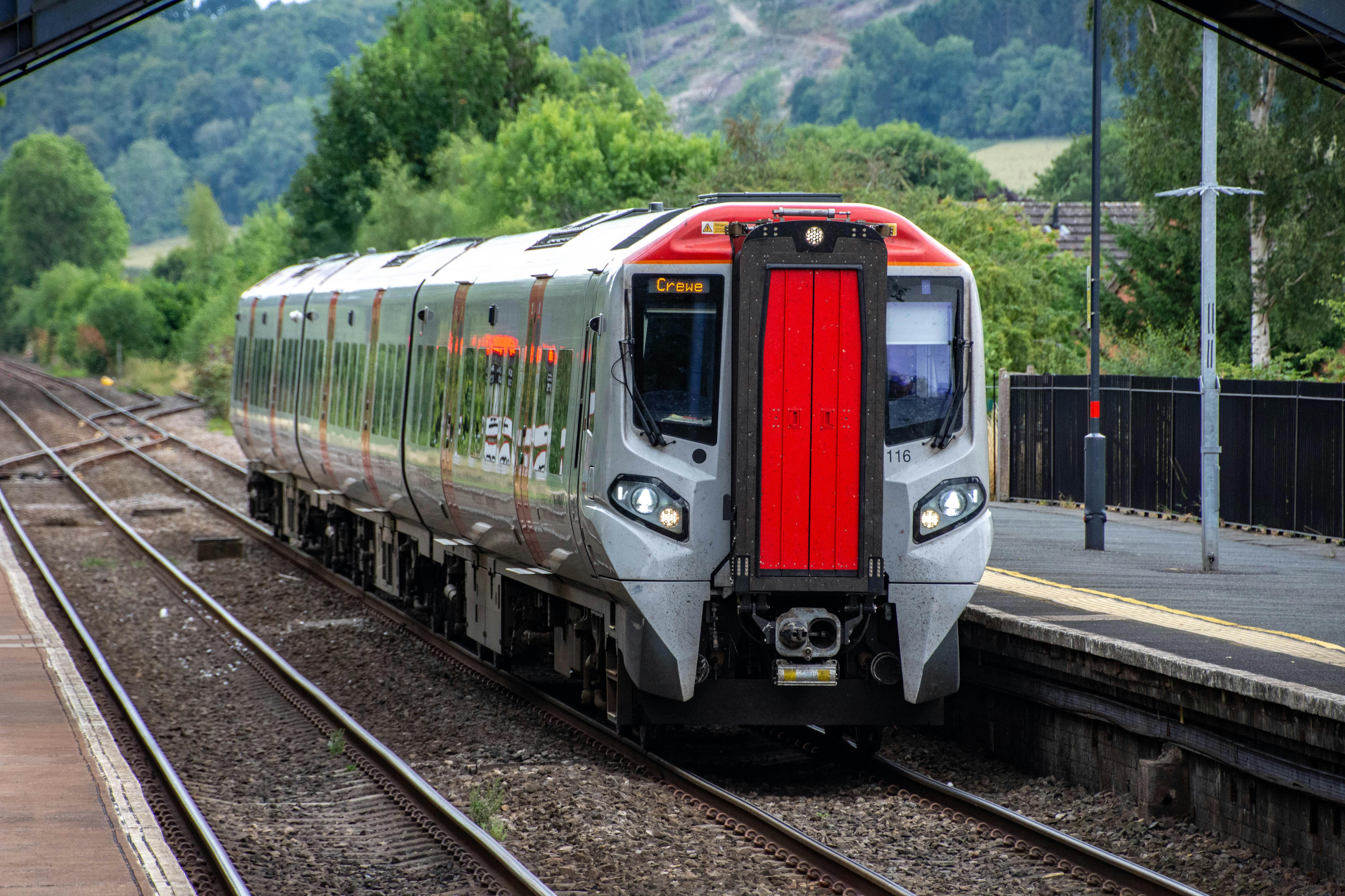
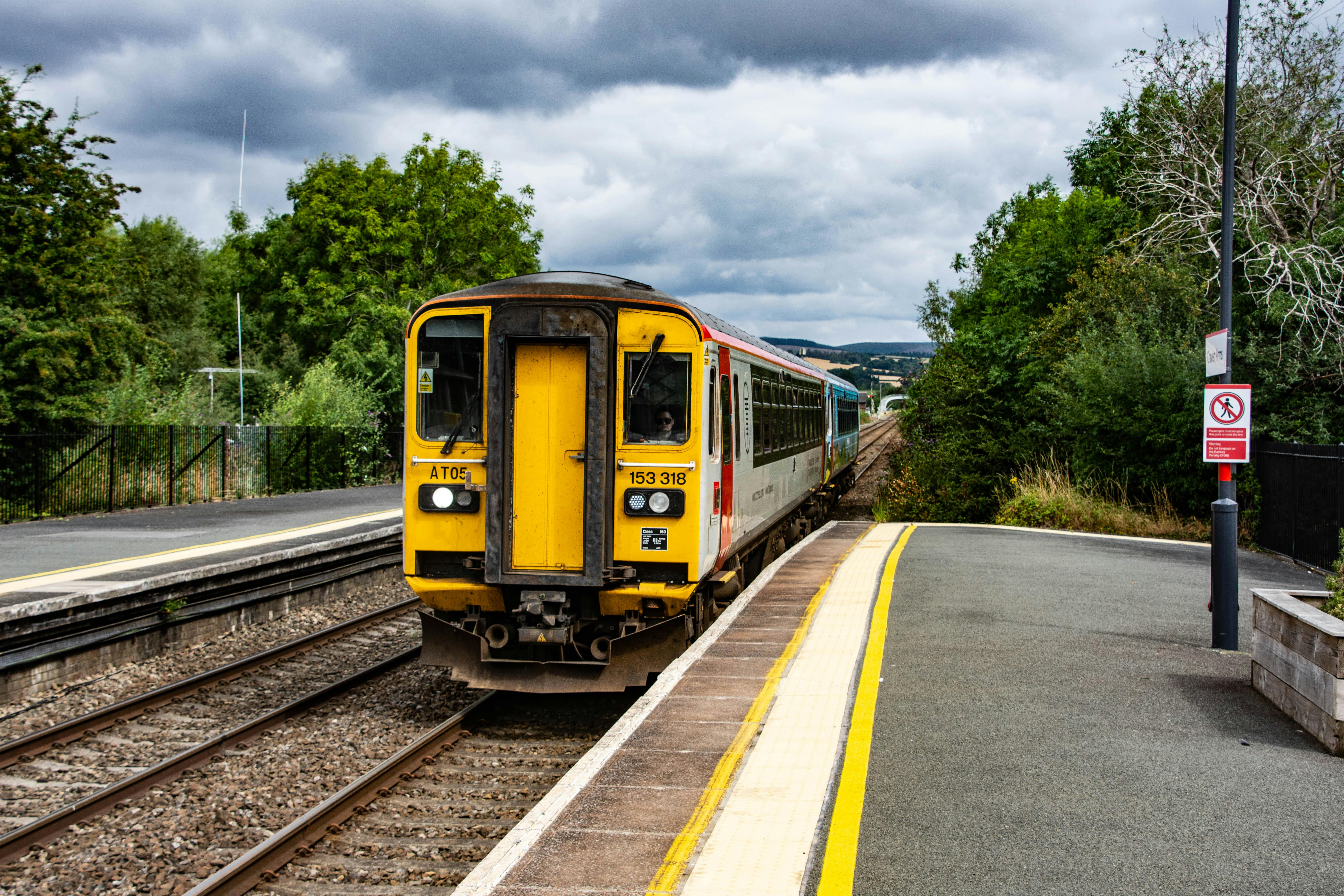
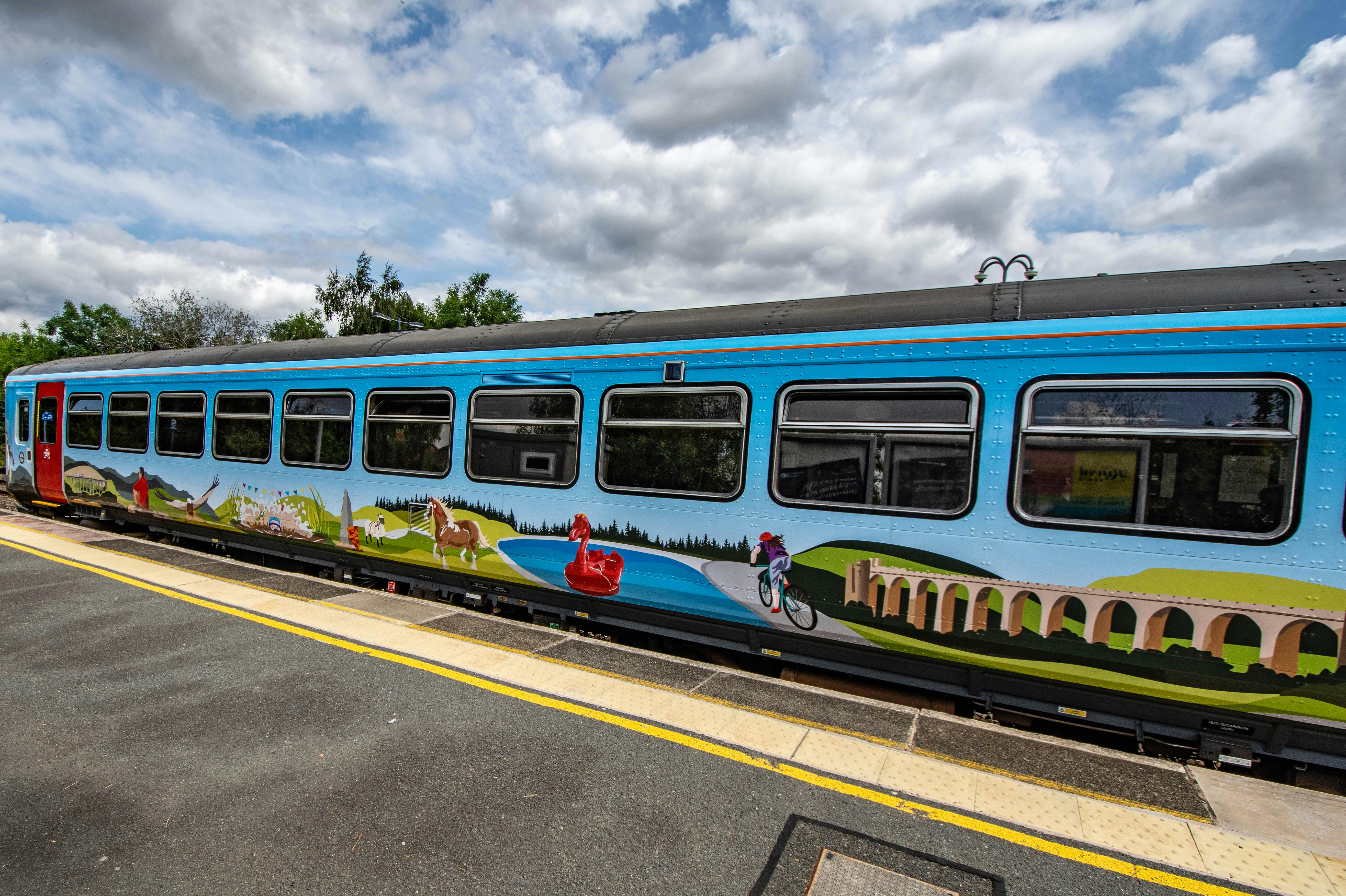
Our train for the day arrived and it was a class 153 2 car DMU. These units have just undergone a refit in the last year in order to accommodate more bicycles and accessability needs onboard. These are referred to as the ‘active travel’ units. You have to admit, the artwork on the side of this train is gorgeous.
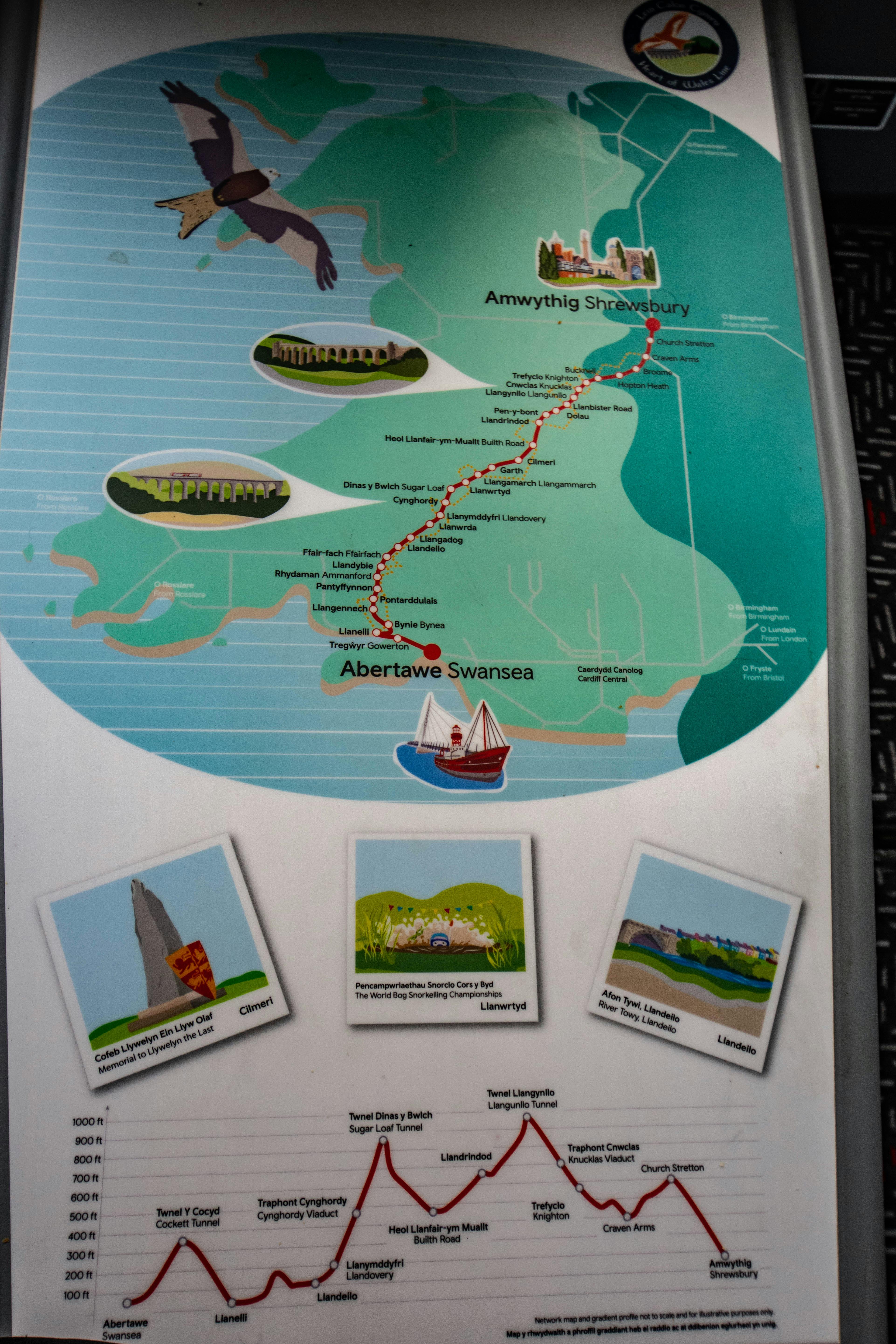
Now that we are on the move, the train makes a series of stops at both request and principle stations. Inside the train on the tables is a helpful map which outlines the whole line and the variety of stations and features to look out for along the way. It also outlines the elevation profile of the line and some of the gradients are pretty steep.
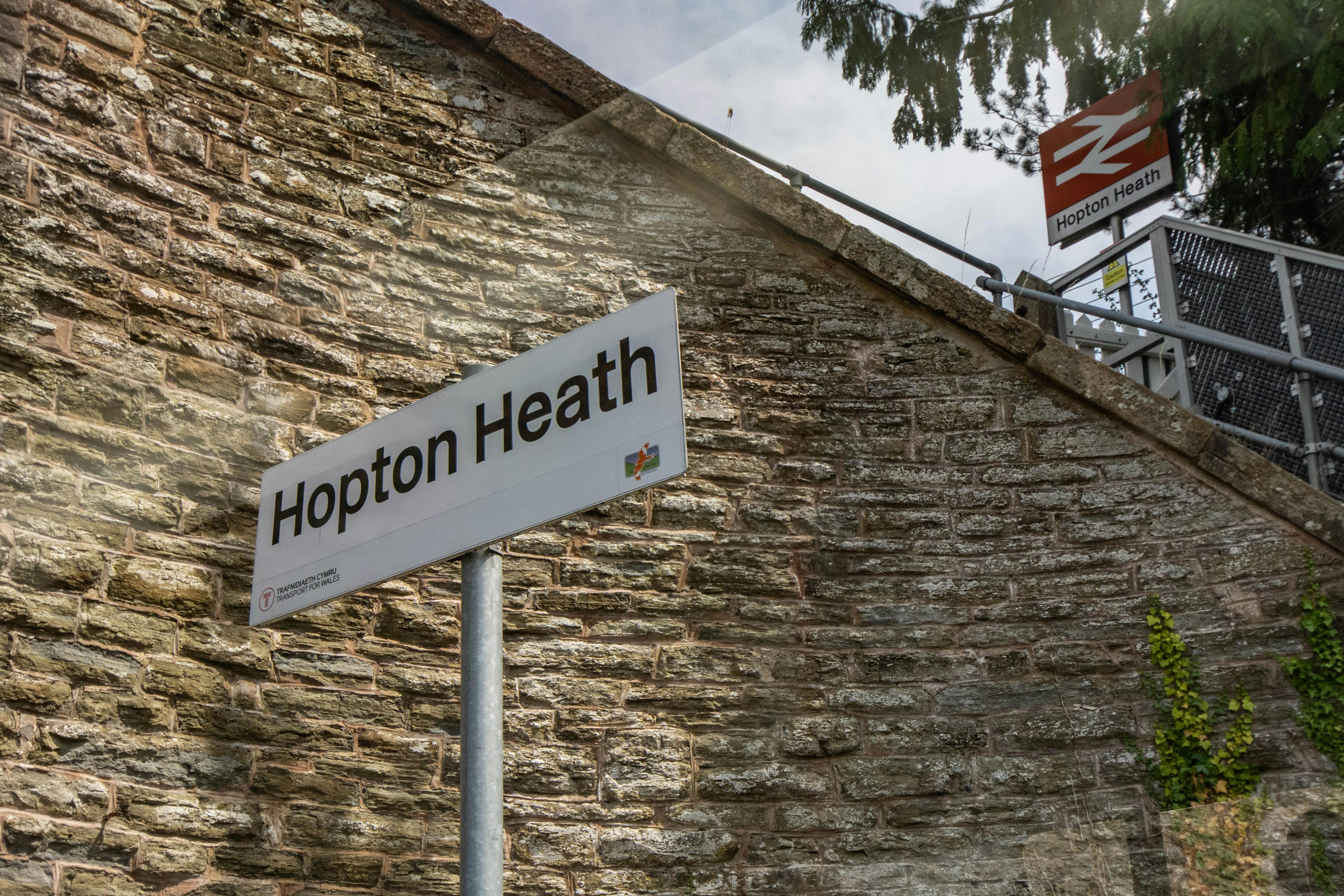
Hopton Heath

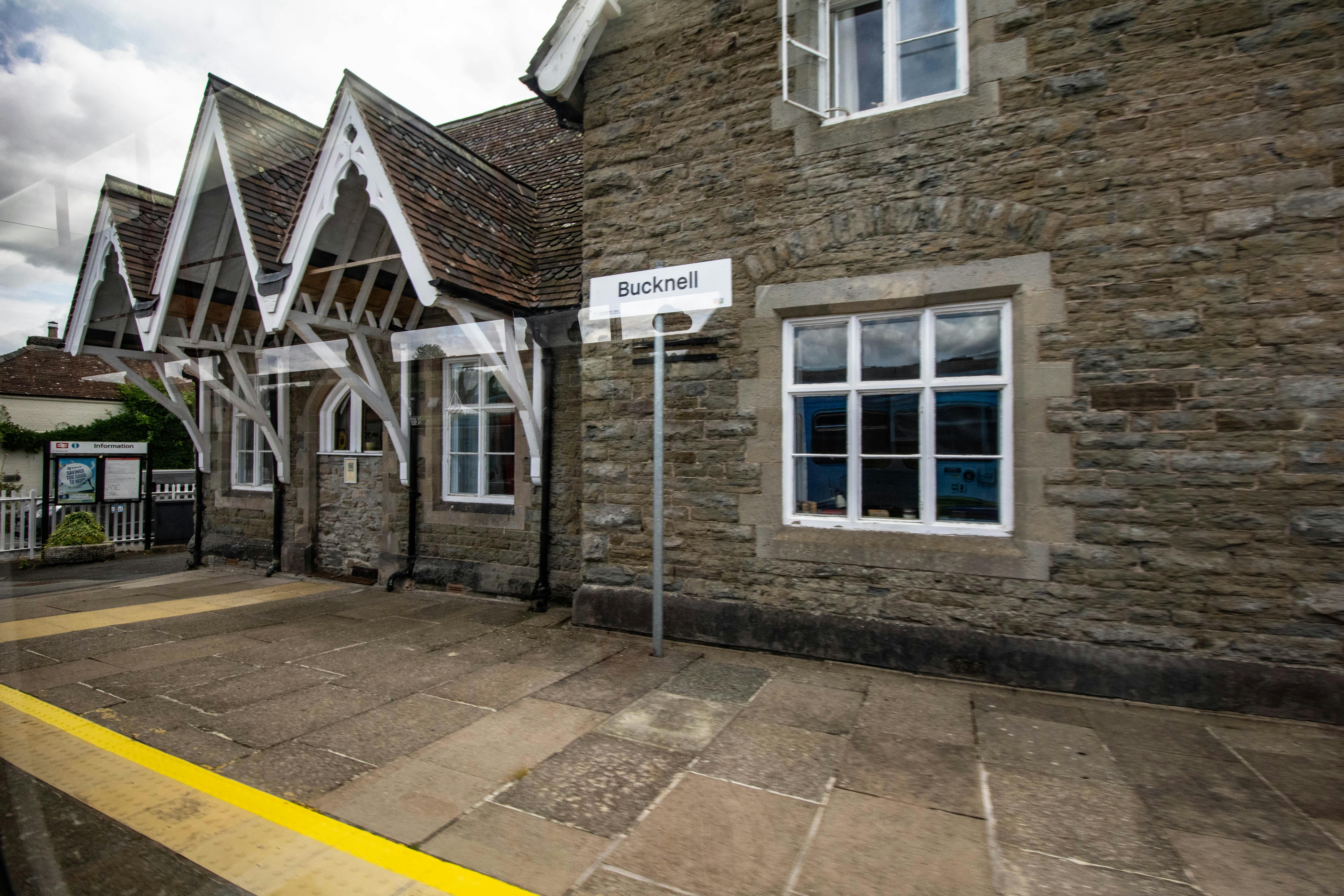
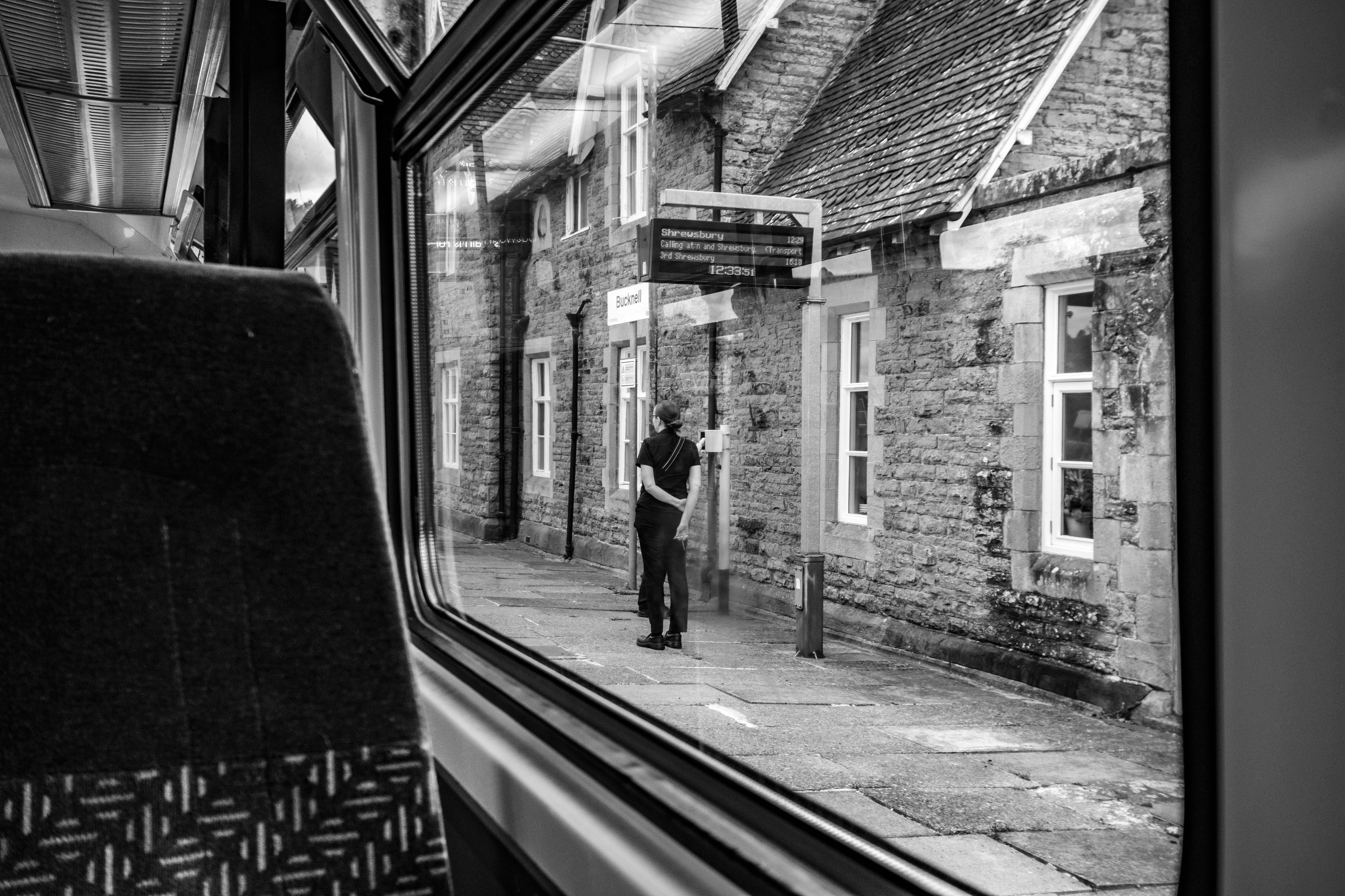
Bucknell
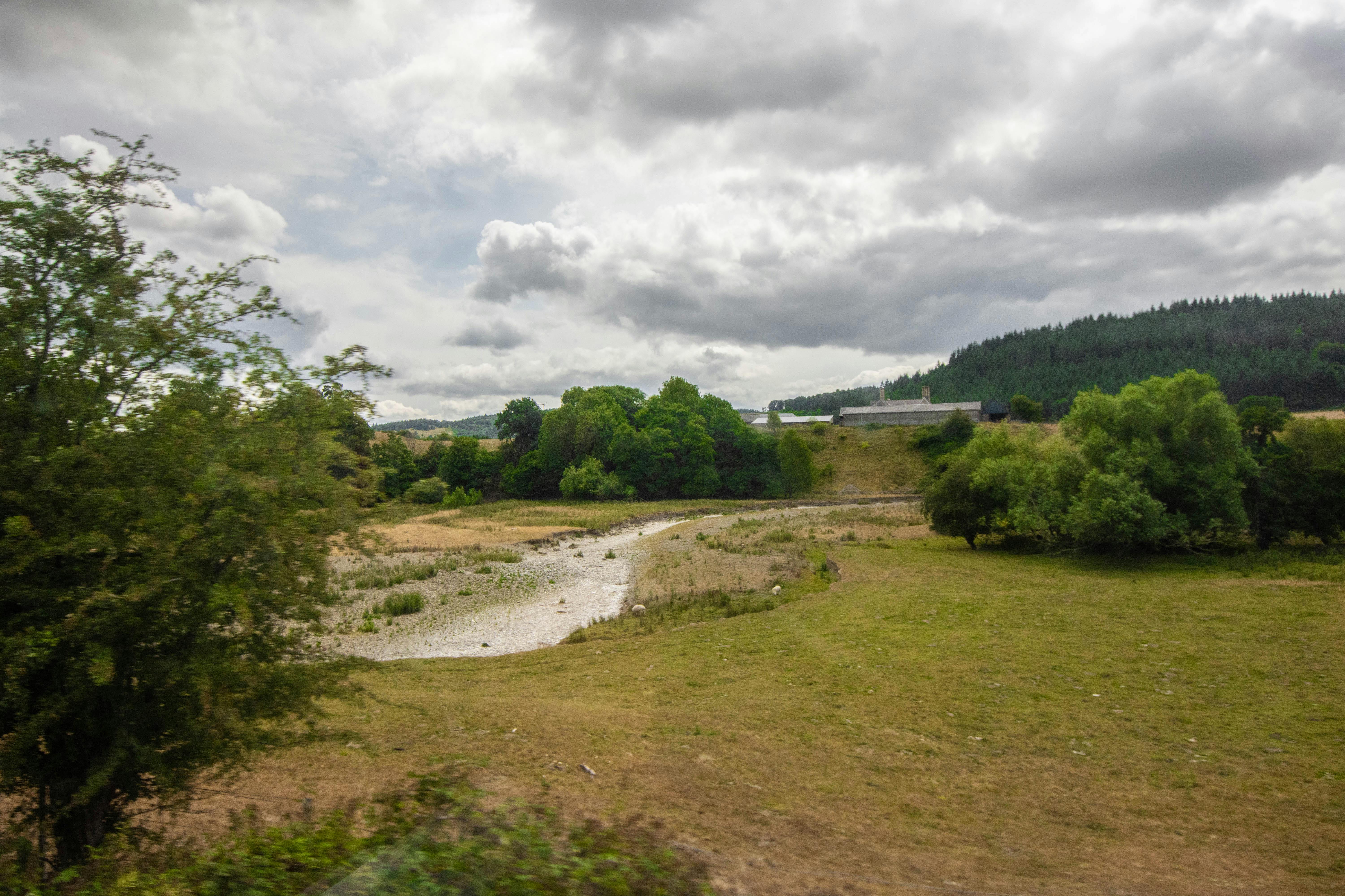
The landscape we pass through is beautiful, unspoilt by development.
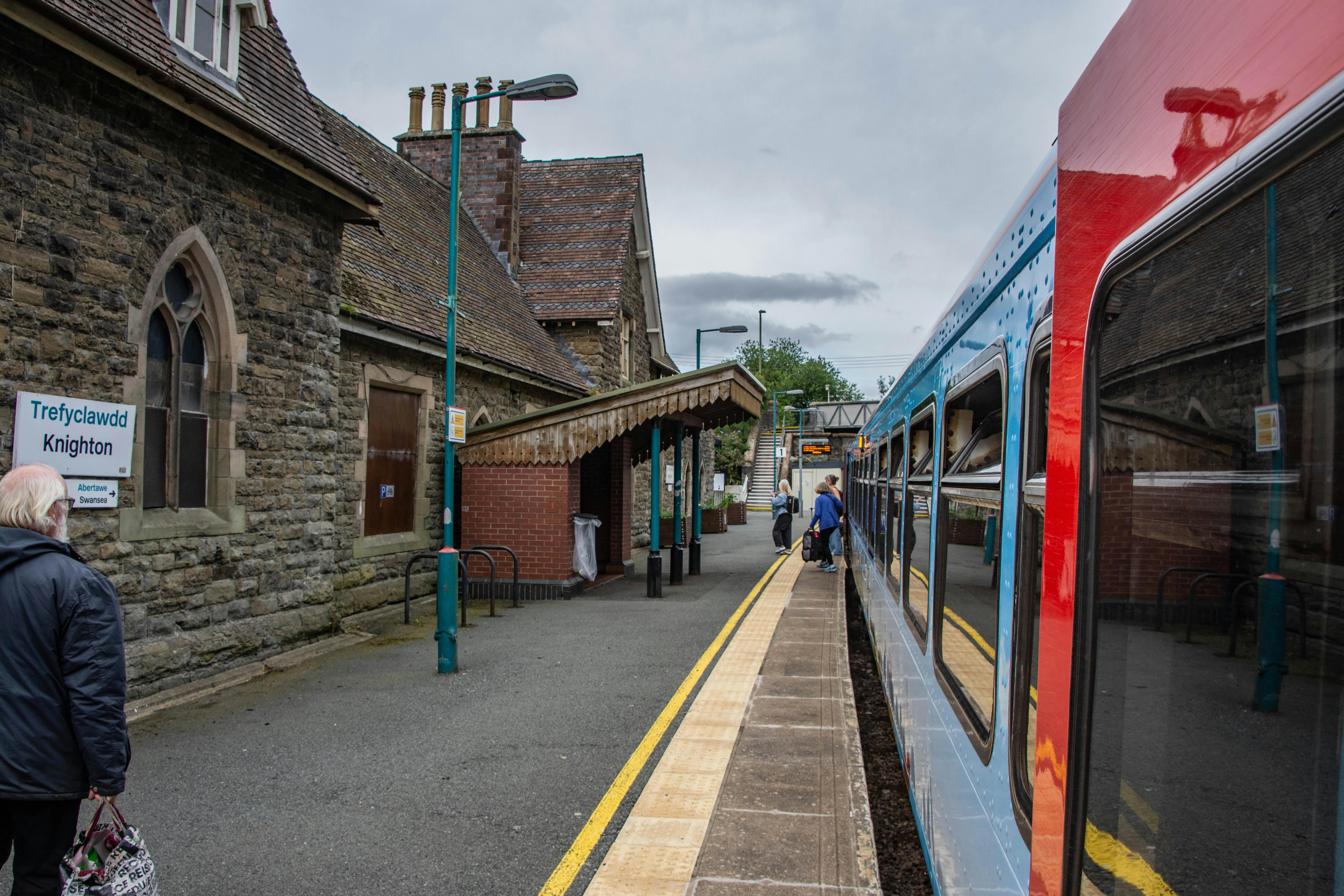
Knighton
Llangynllo
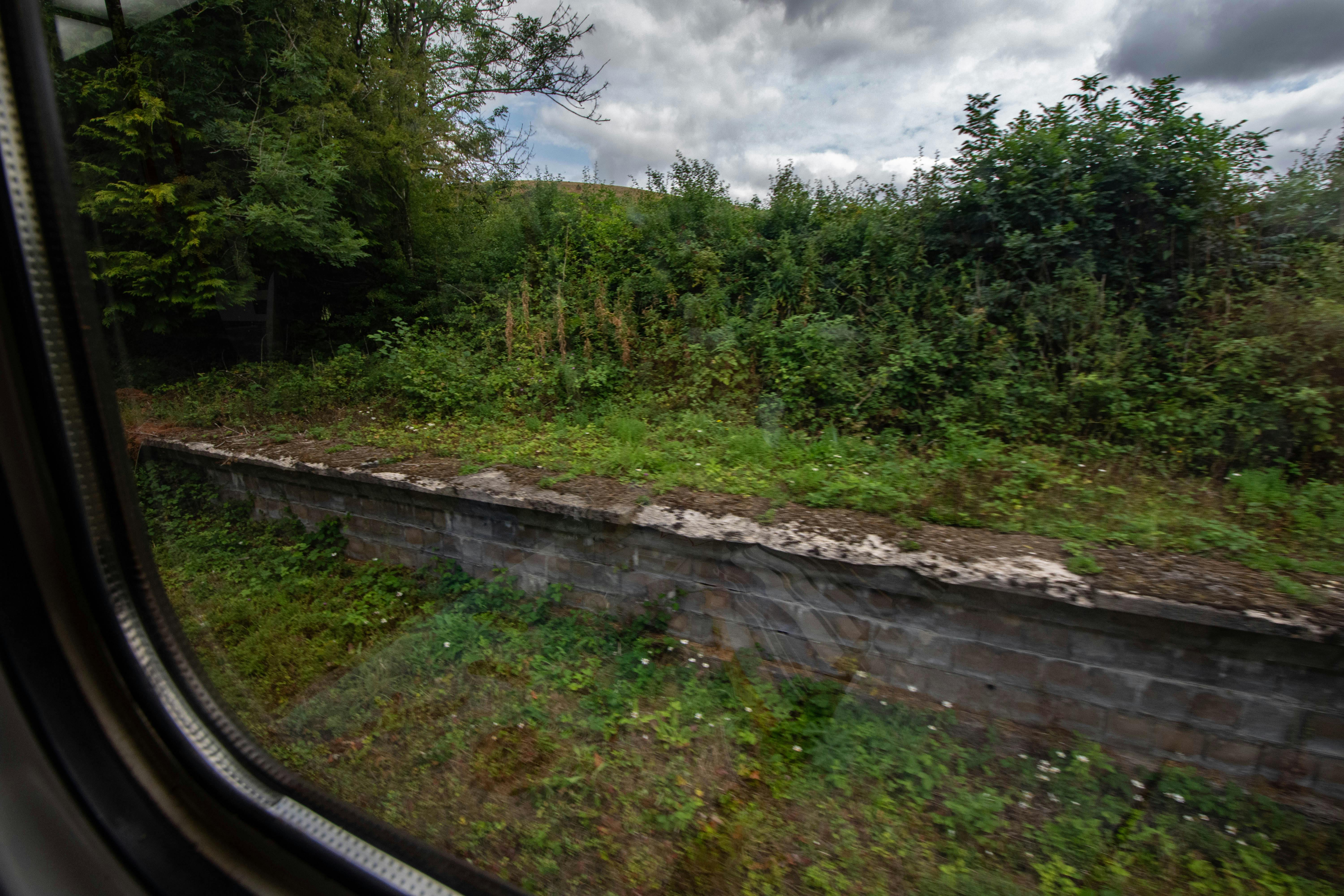
There is clear evidence along this route that there used to by double track running through here at some point, or at the very least additional passing loops at the stations. You can see evidence of this at most stations, such as Llangynllo where there is space for a second track and a platform which has been left to nature after being disused for many years. A passing loop did exist here once upon a time but it was removed in the early 1960s.
Knucklas
Knucklas station like some of the others along the line doesn’t have anything distinctive about it, however it’s what comes after the station which IS distinctive, and it’s here we come across our first landmark on the route; the Knucklas Viaduct.
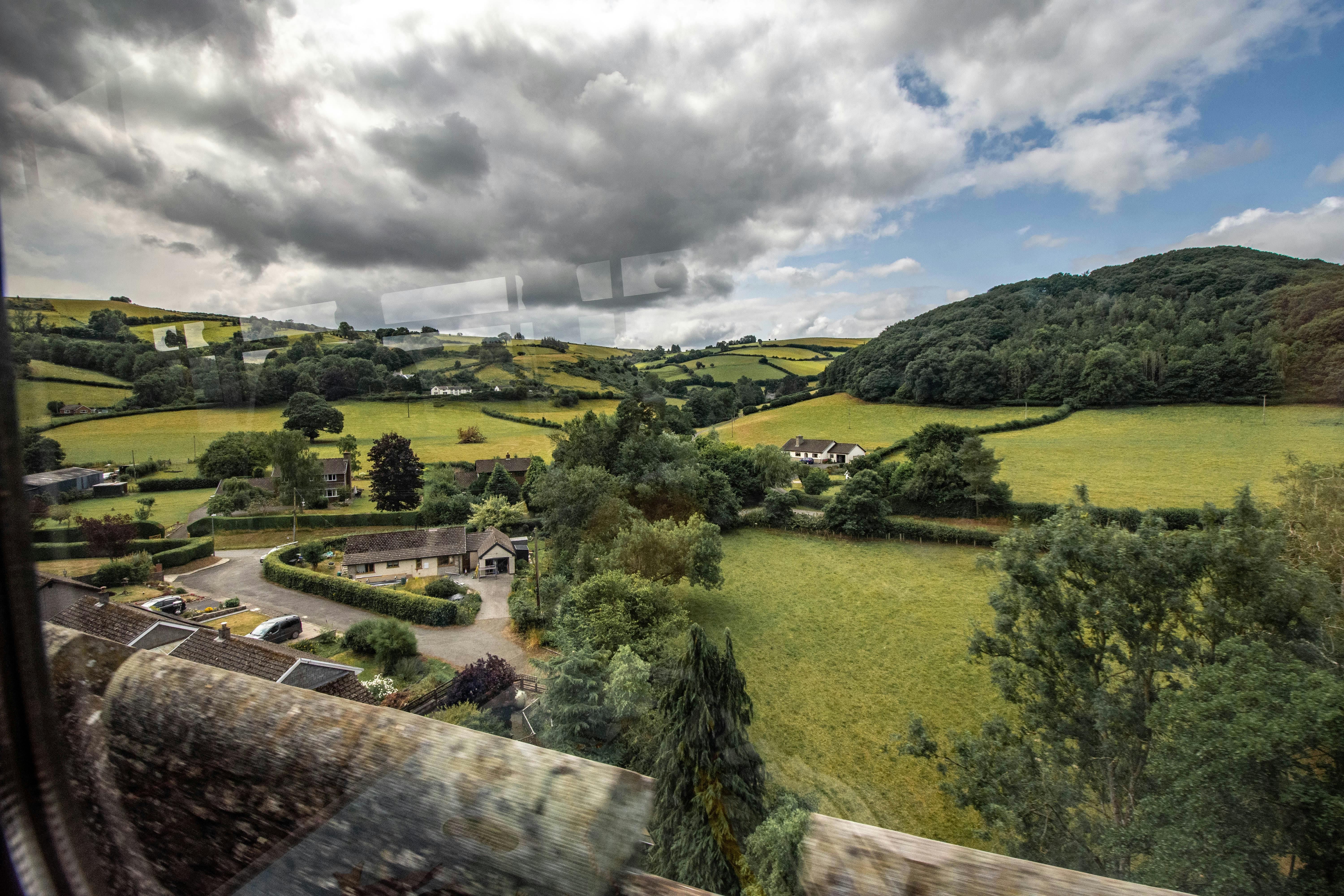
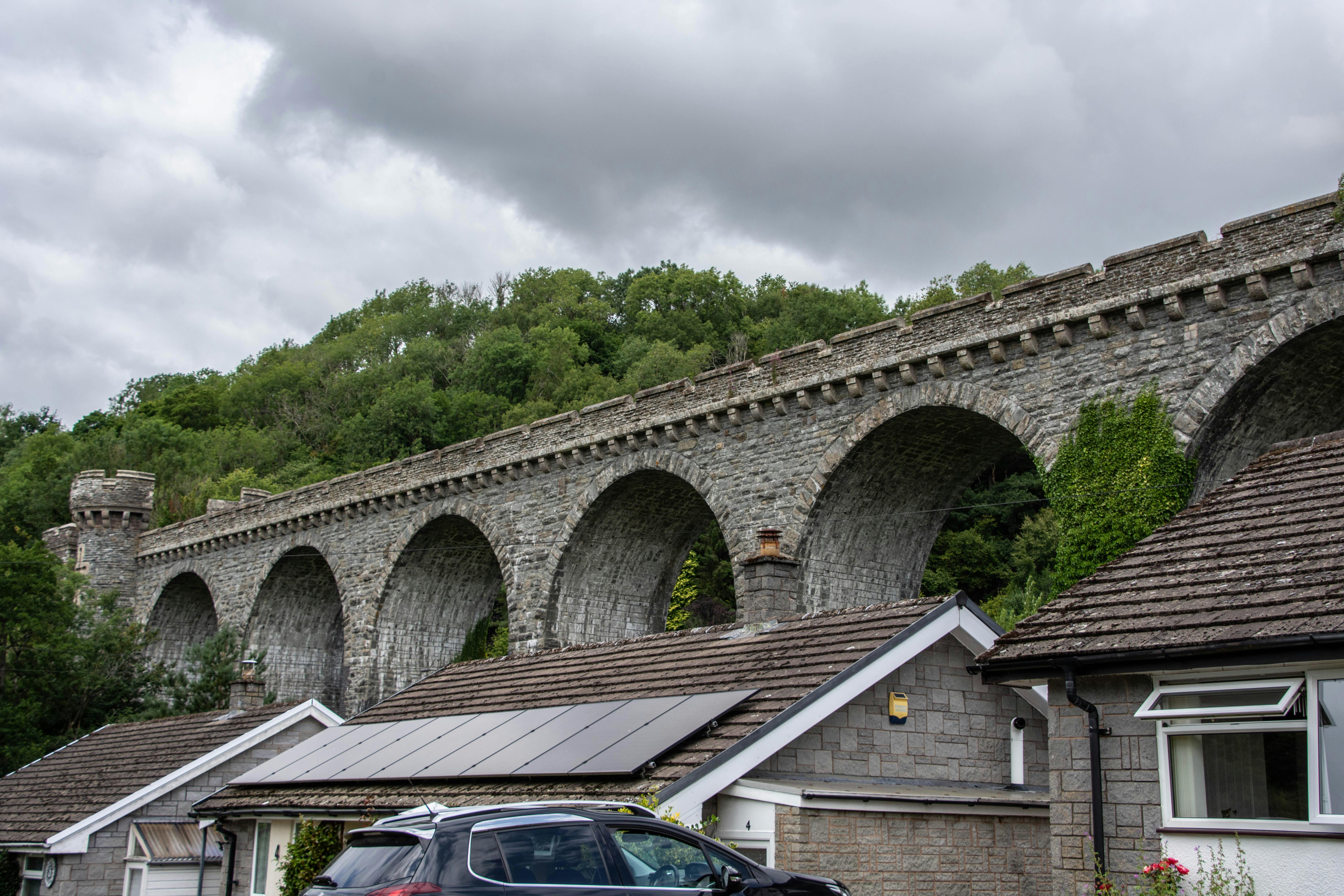
Knucklas Viaduct
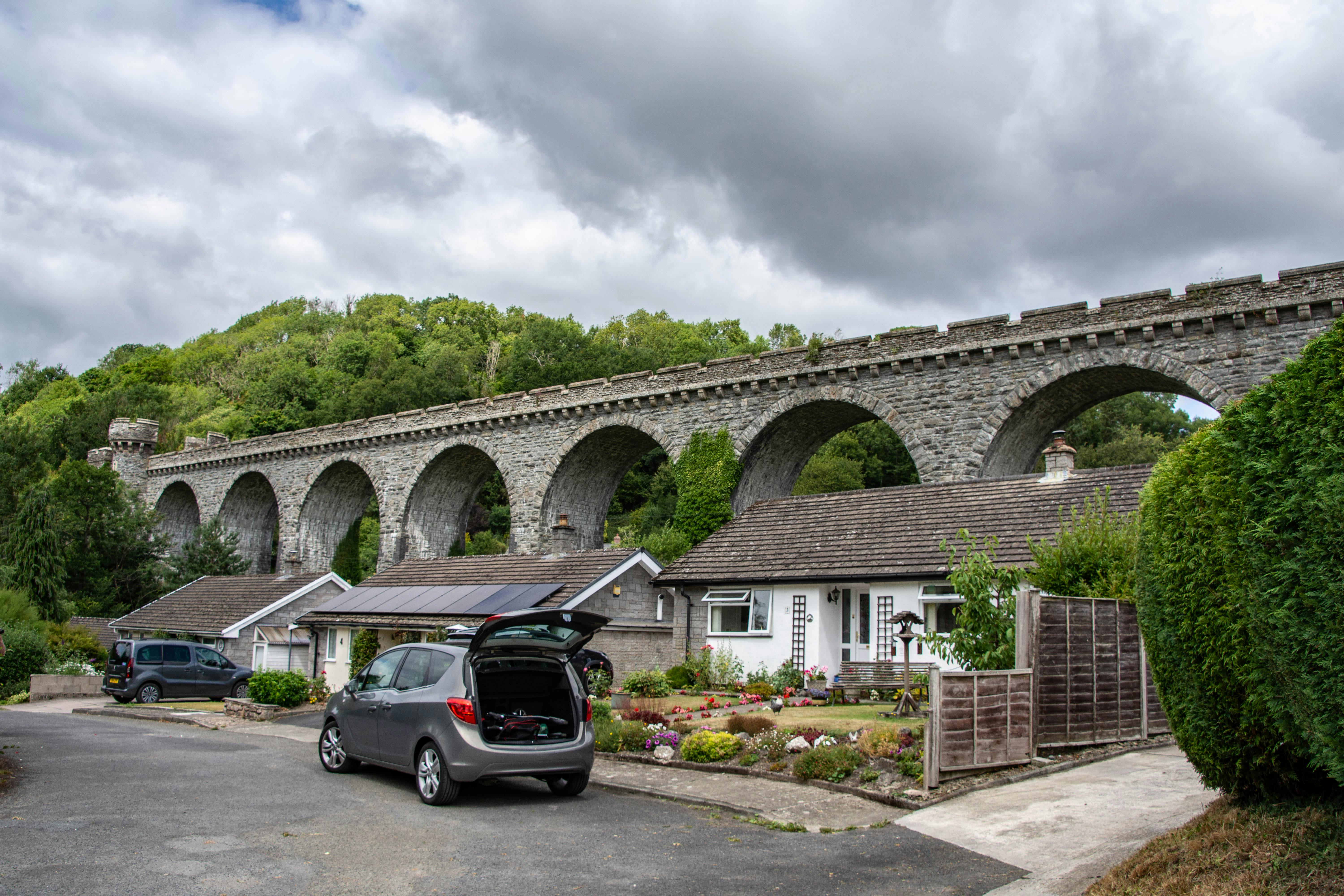
Built between 1860 and 1863, it has 13 arches and spans 190 yards in length and sits 75 feet above the Heyope valley floor. The viaduct is a grade 2 listed structure. If you look closely at either end of the viaduct you could be mistaken for thinking you are looking at a castle due to the round parapet towers. This is no mistake and a deliberate design choice following the heavy influence of the then owner of the remains of Knucklas Castle who insisted that since stone was required from the castle to assist with the construction, the viaduct must include some of the features of a castle. Recent analysis of the stonework concludes that some of this did indeed come from the castle. It makes this a unique design in railways and is visually stunning to look at. Below you can see two different viewpoints, both looking towards where the opposing photo was taken. One shows you the view from travelling ontop of the viaduct and the other shows you it from the ground on the small estate you see in the left hand photo.
The below video shows us travelling over the viaduct in the southbound direction from Knucklas.
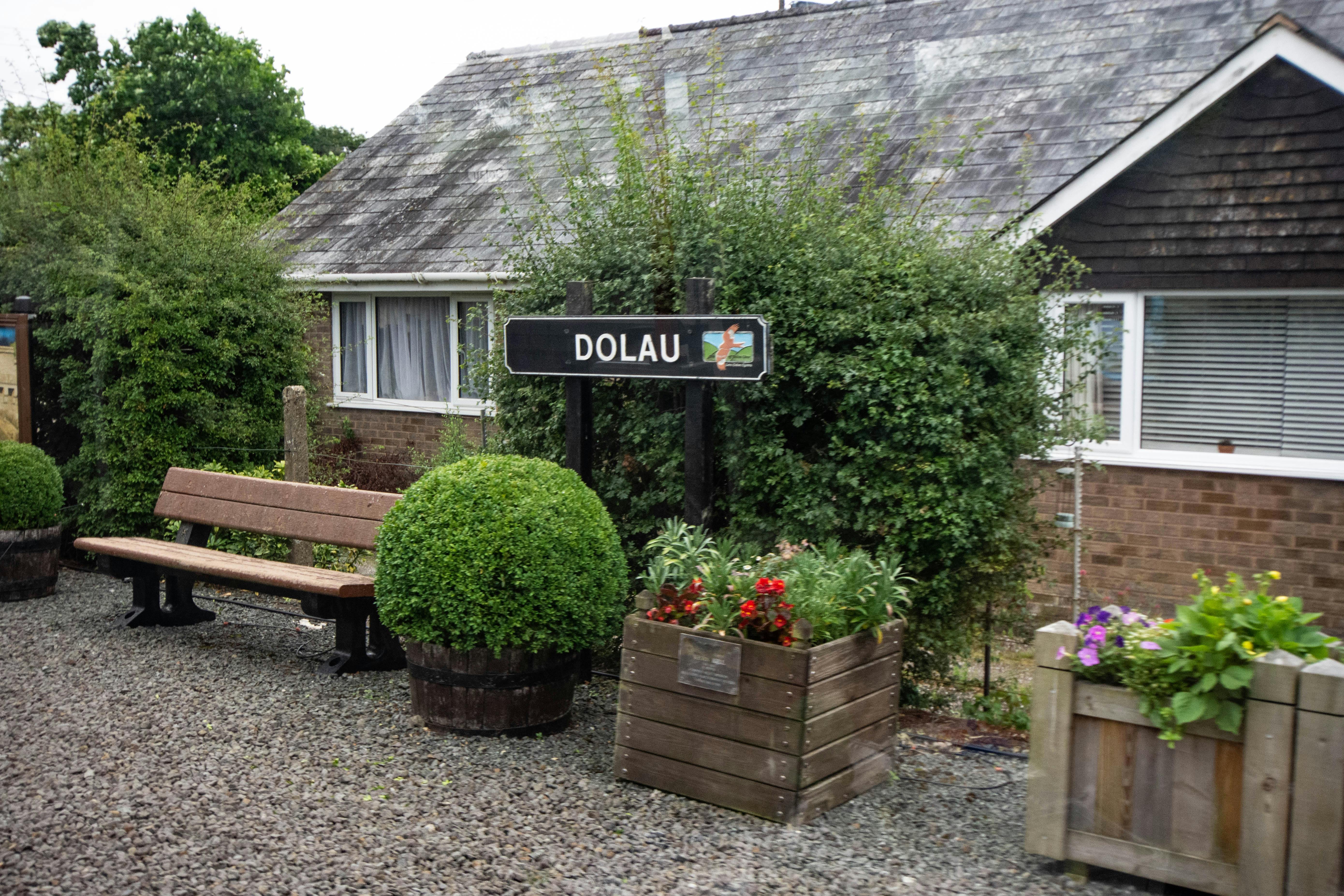
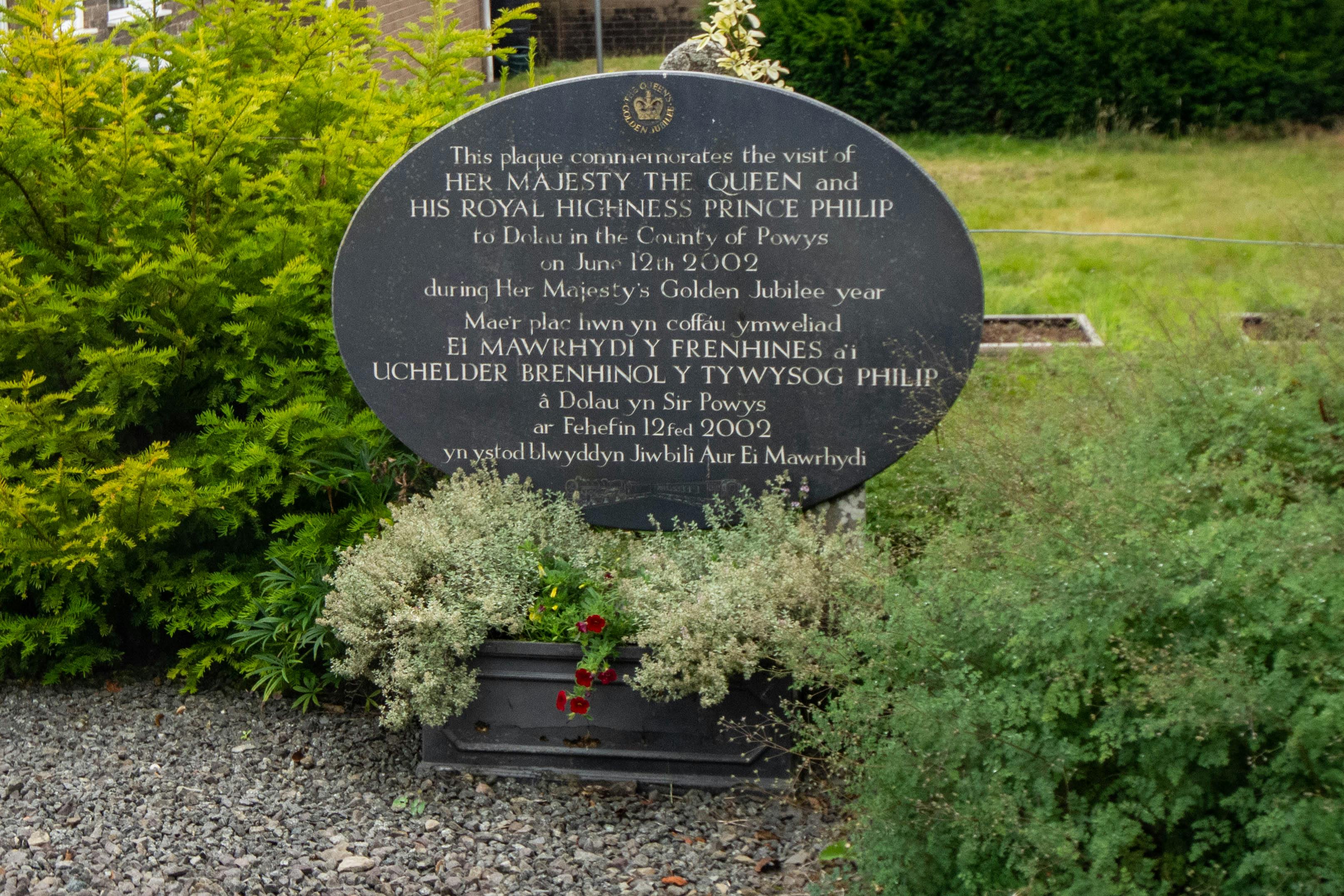
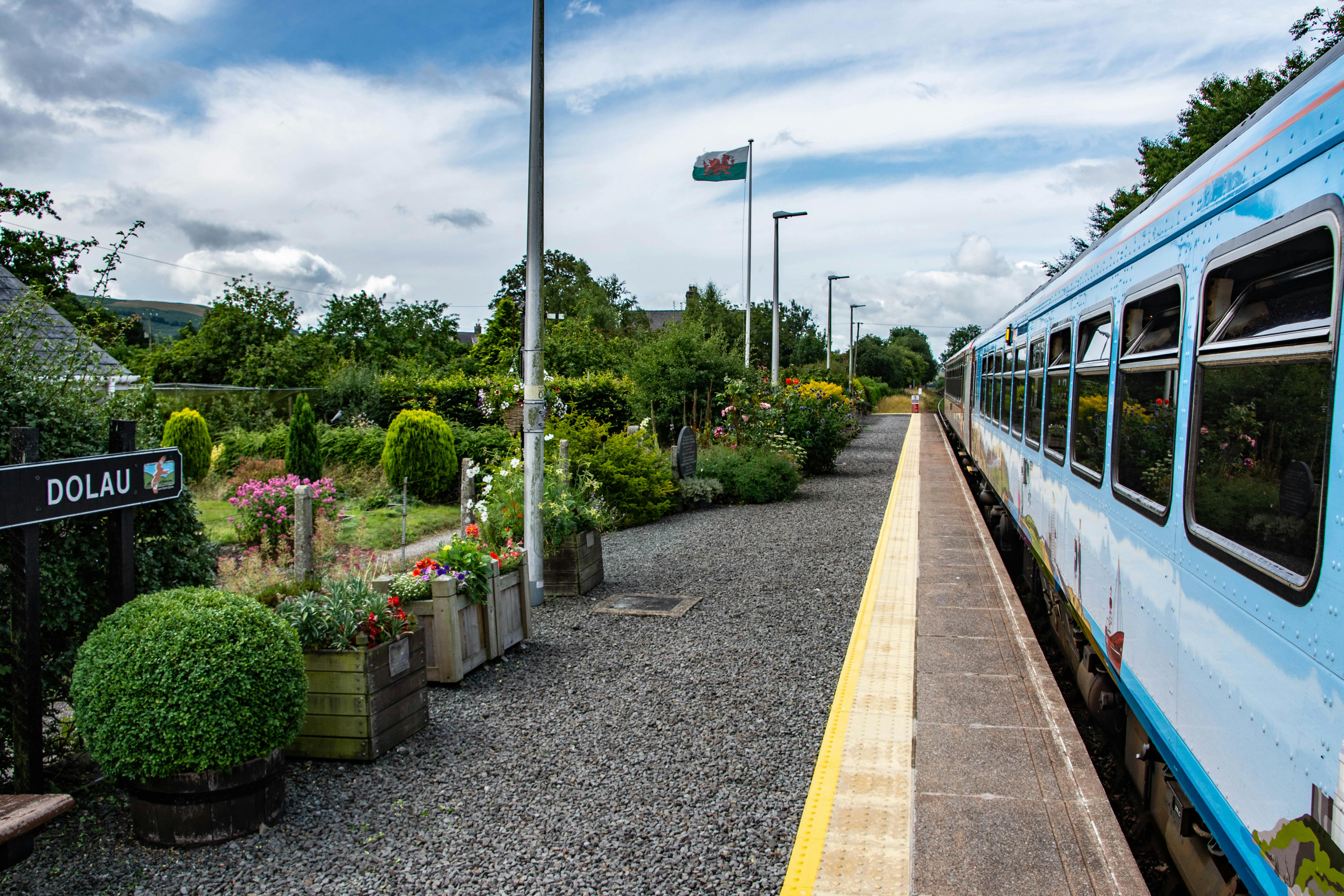
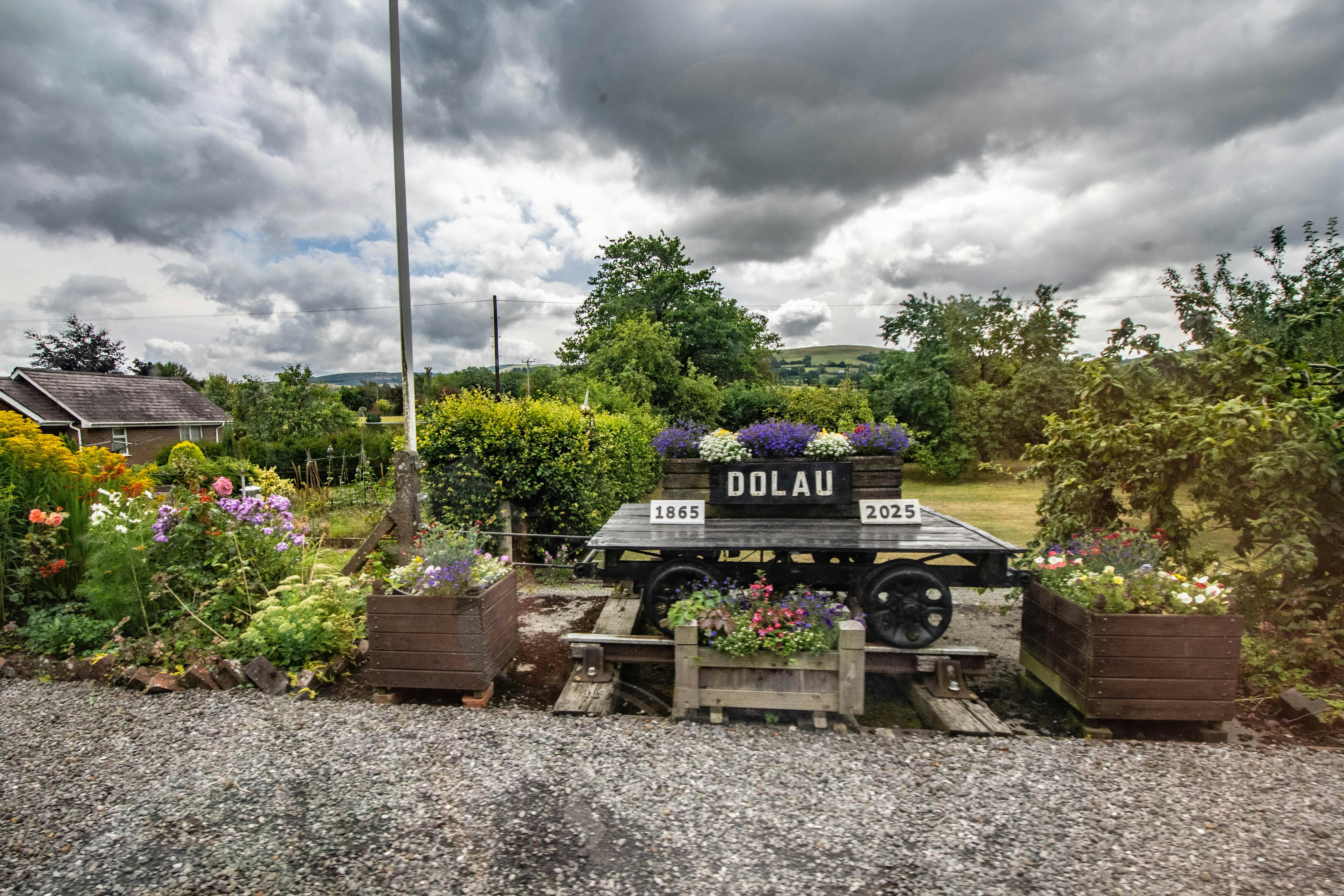
Dolau
Formerly known as Dolau Halt (the suffix being dropped in 1969), Dolau is our next station. In 2002, Queen Elizabeth II unveiled a plaque at the station to commemorate her visit during the Golden Jubilee visit to Wales. For the last 30 years, the station has been tended to by the Dolau Station Action Group who have decorated the platform with plants, flowers, a wooden waiting shelter and a clock. The shelter houses a guestbook as well as the awards the station has received. From these few pictures below, you can tell the volunteers care deeply about their community and this station which sits at the heart of it.
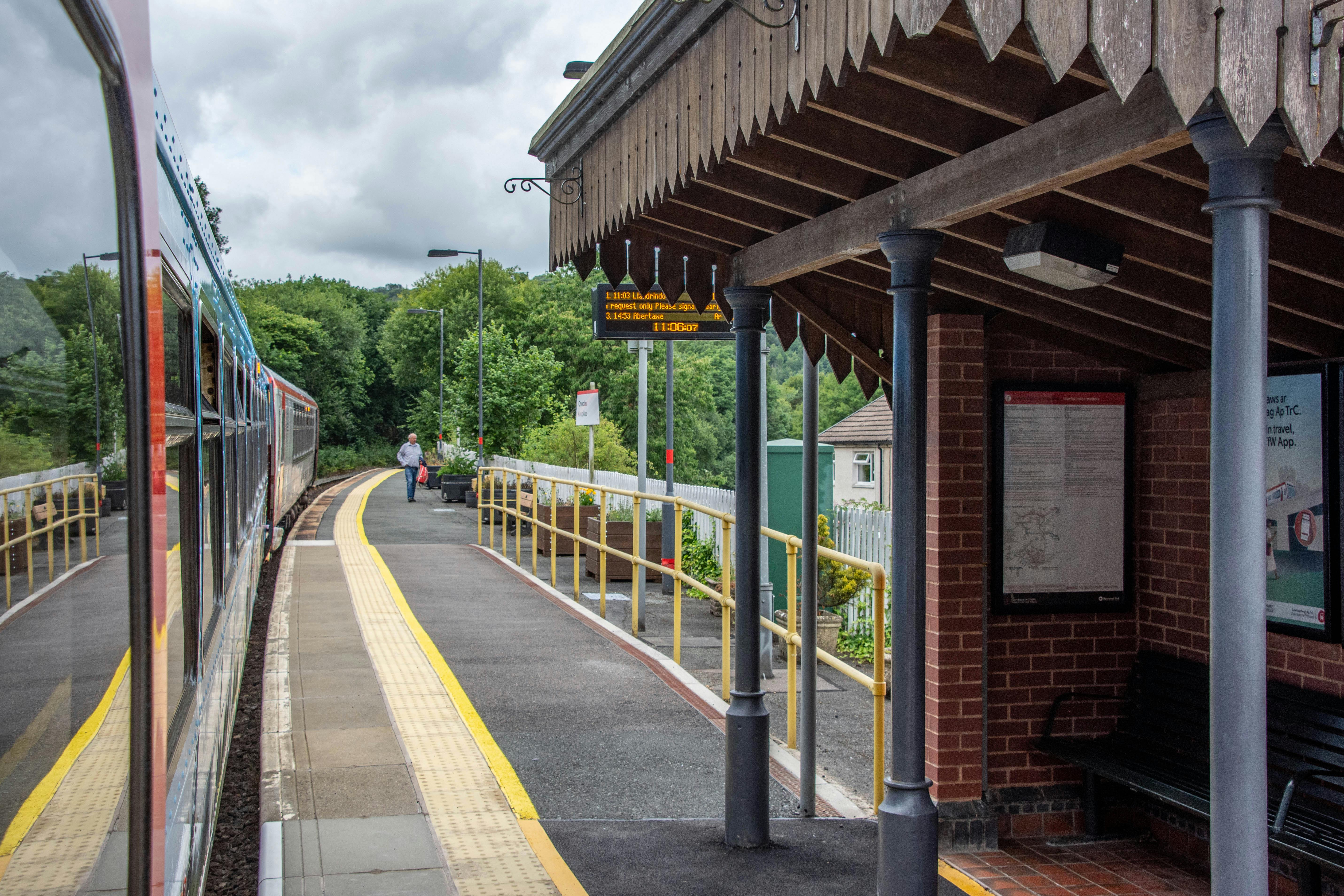
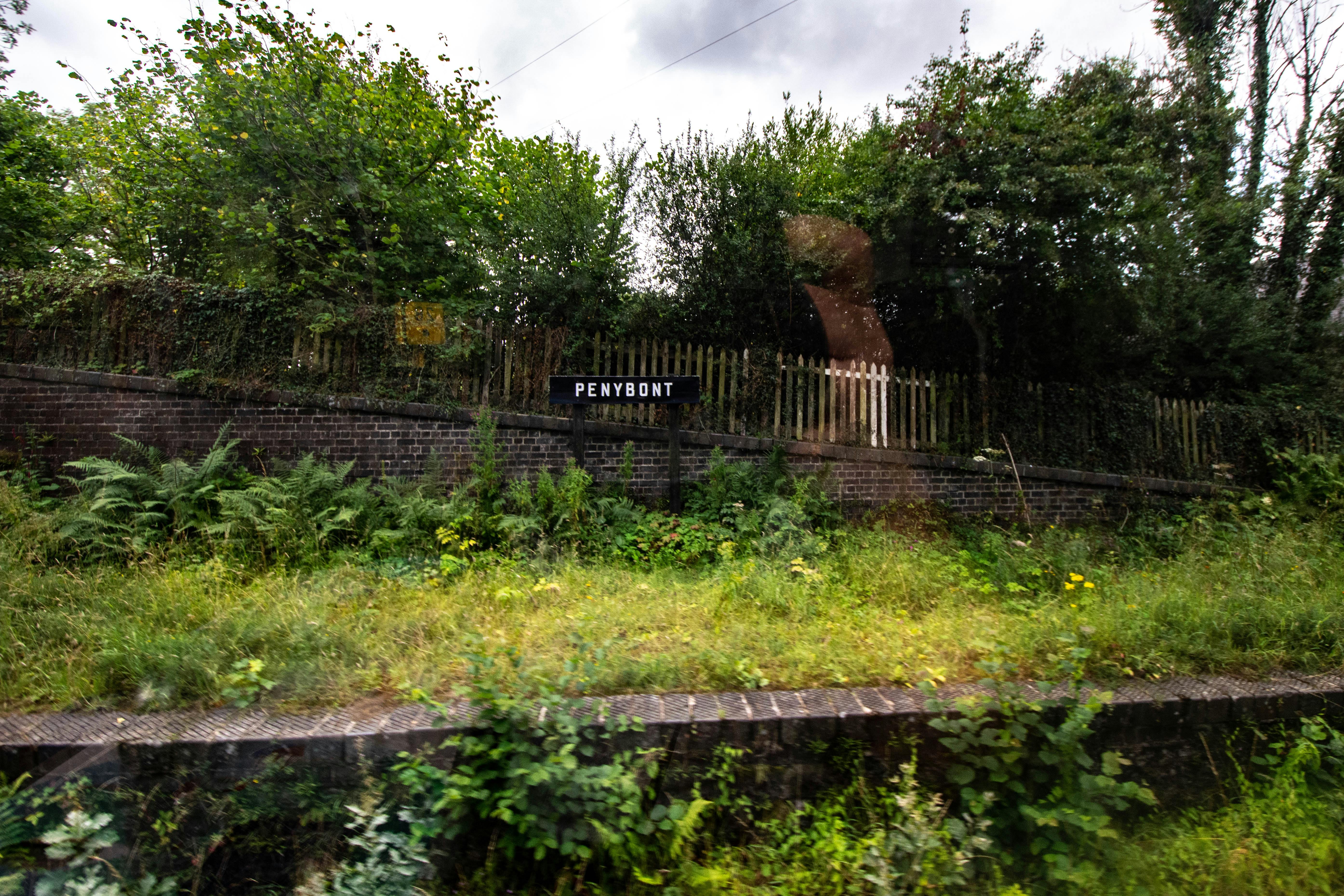
Pen-y-bont
Pen-y-bont station serves the village of Penybont however it is located closer to the villages of Crossgates and Fron strangely. This is another request stop on the line but we see further examples of where there is an abandoned platform that would have once been in use.
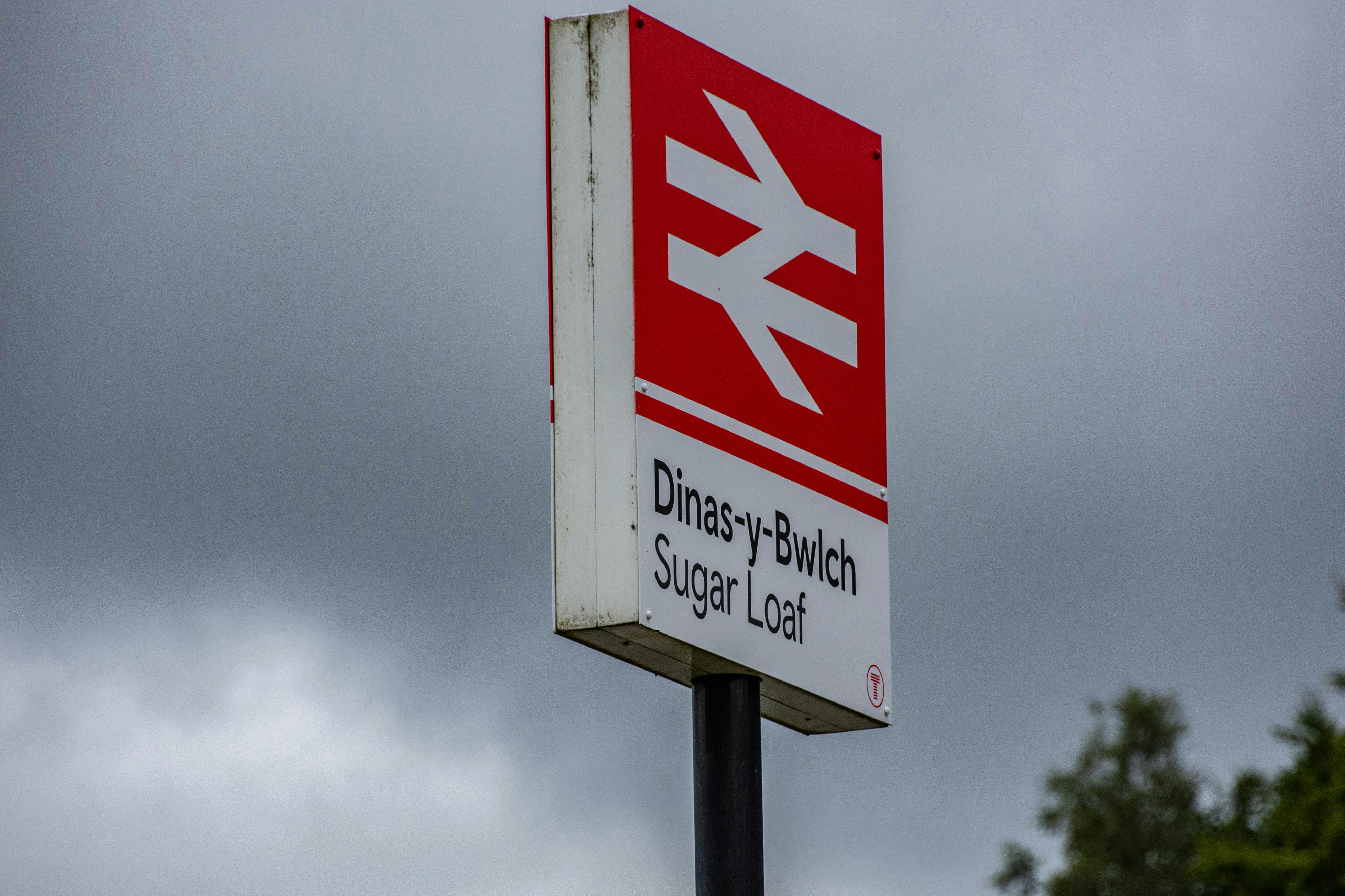
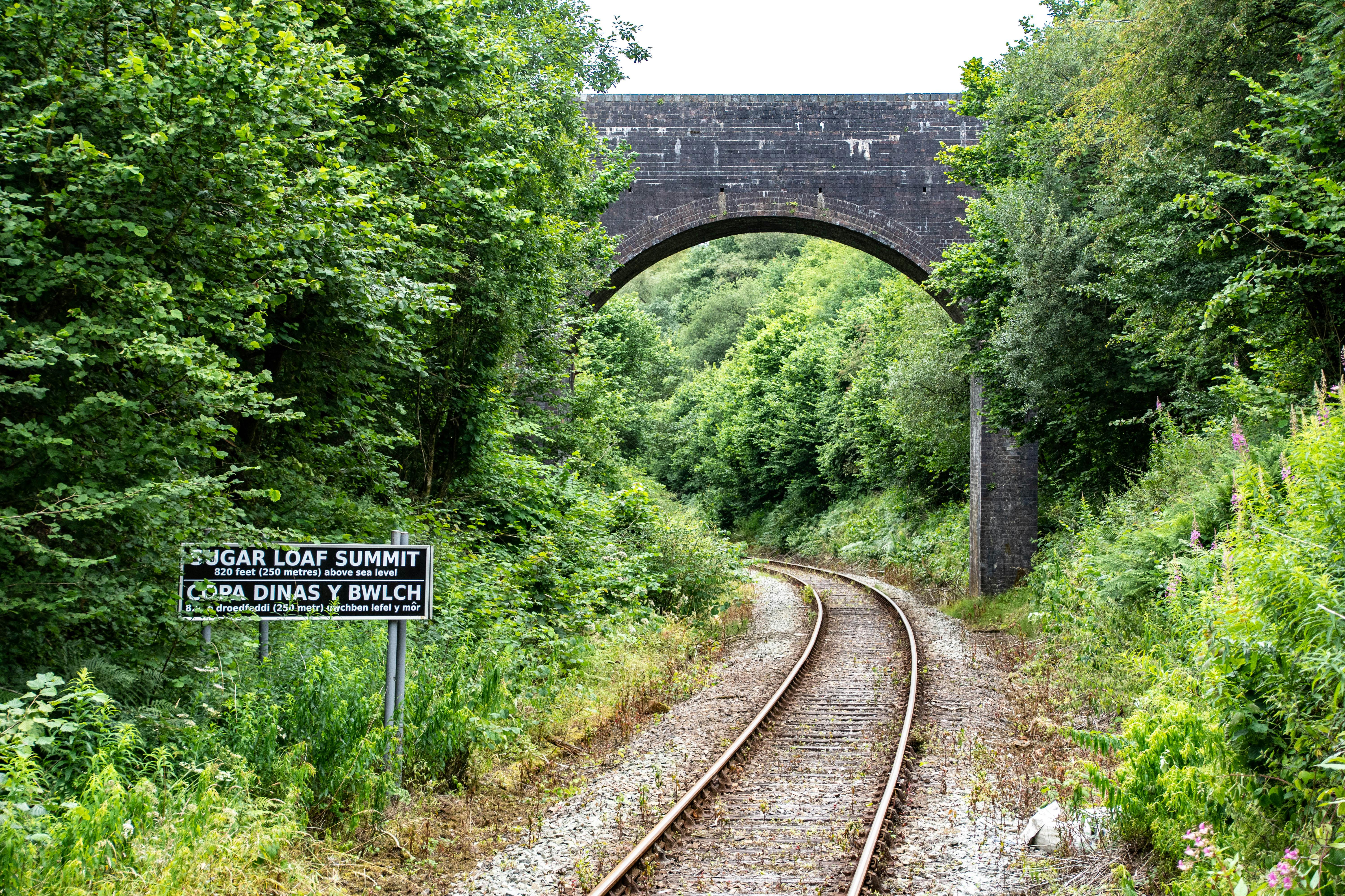
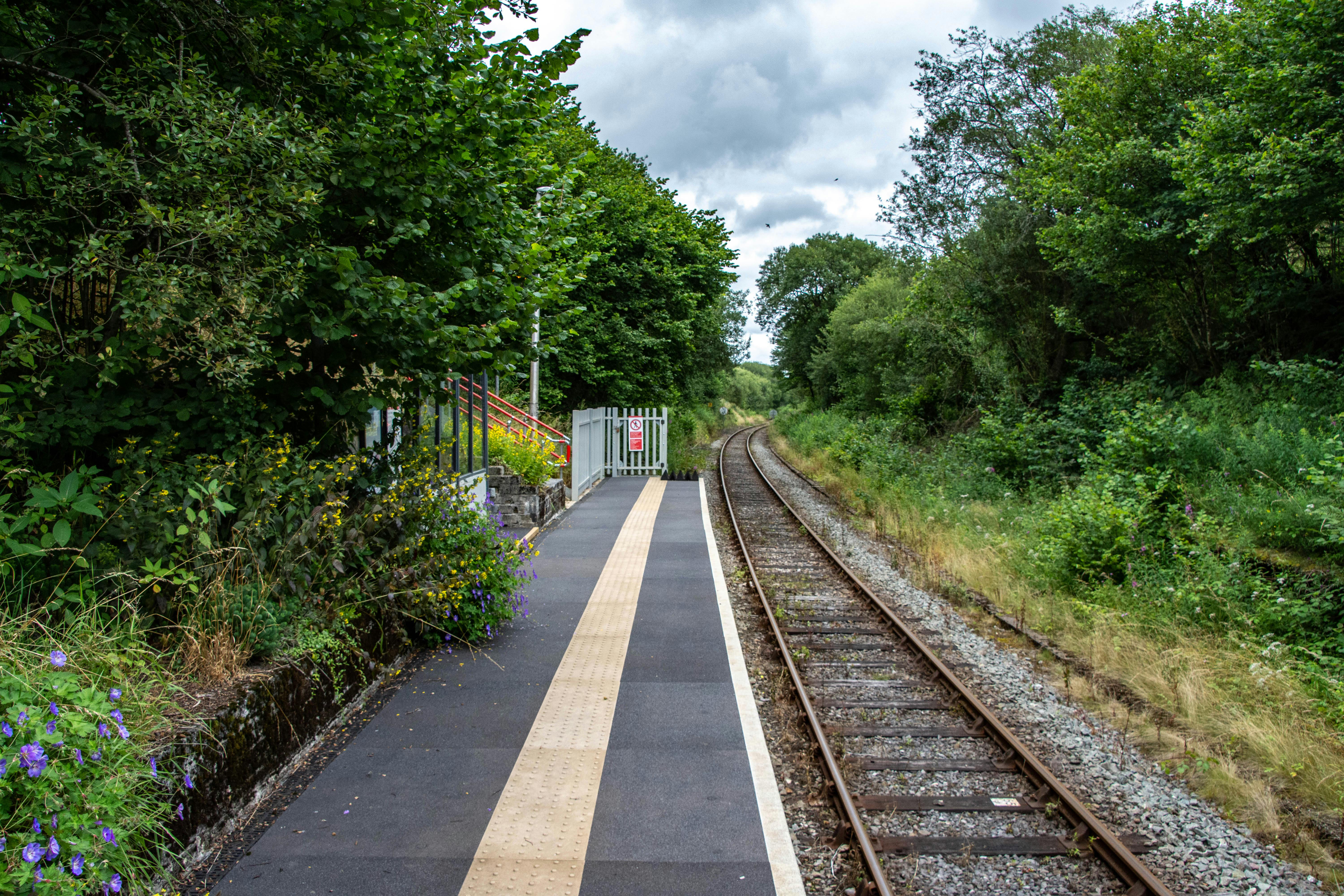
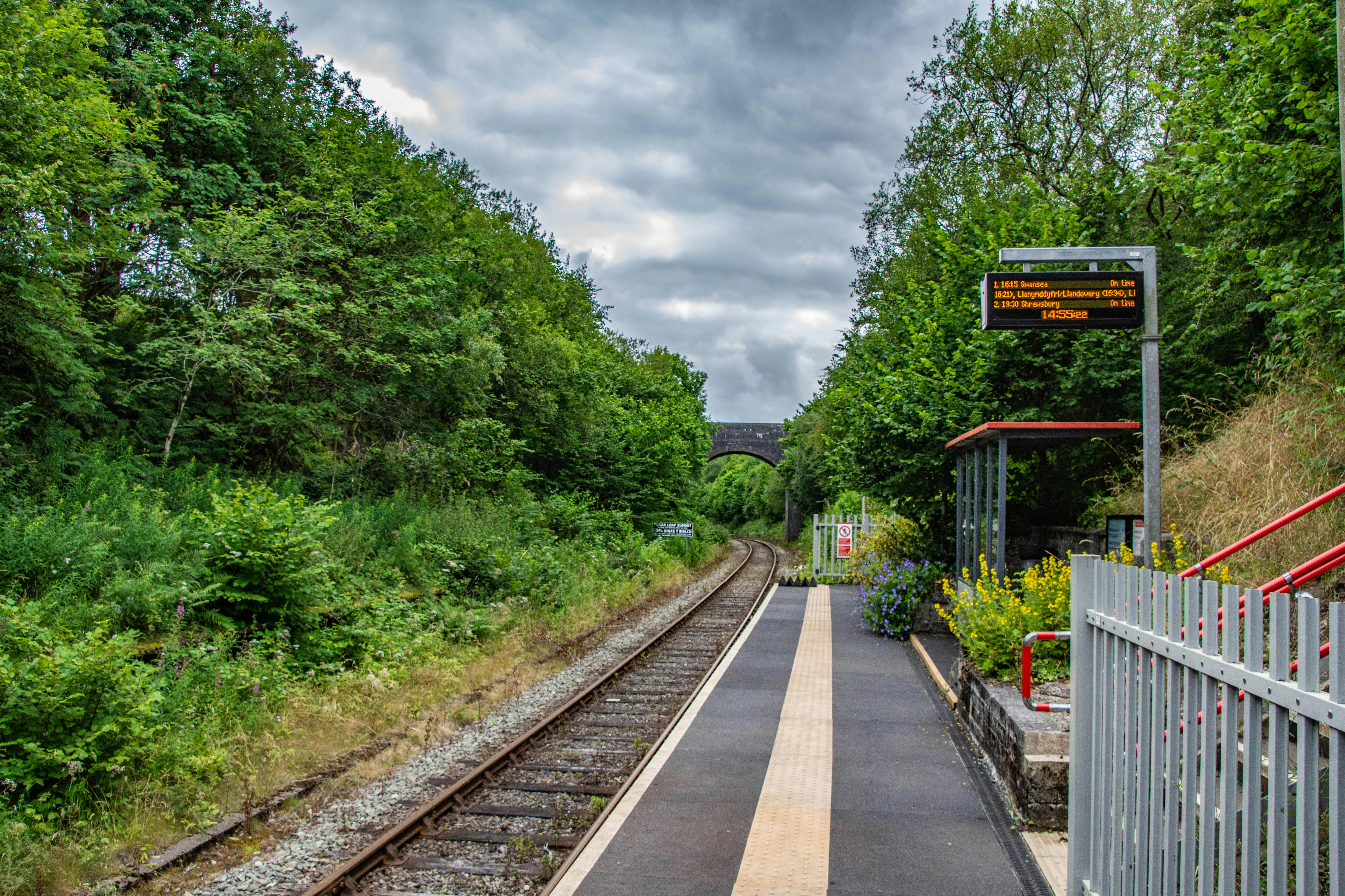
Sugar Loaf
We’re on the road now and have pulled into Sugar Loaf station which is a request station only. Originally built to serve cottages which were occupied by railway workers at the time, this is an incredibly rural station, actually the most geographically remote station in Wales and is tucked away in the middle of nowhere. The station itself is very small but has the usual modern station basics like a shelter and departure board installation. If you look carefully on the other side of the line, you can see another platform, one which nature has now almost entirely reclaimed. The station used to have a passing loop and the Sugar Loaf Summit signal box, but both were removed when the station closed to passengers in 1965. In 1984, the station reopened to traffic. We wondered exactly how many passengers used this station given its proximity to nowhere. In 2014, it was reported that the station was averaging 5 passengers per month. Funny thing about railways is that statistics like this send train and transport enthusiasts into somewhat of a competition mode to change the stats, and in 2017/18, that’s exactly what happened as it saw increased passenger usage by 710% from the previous year which took the annual visitor count to as many visitors in the last 17 years combined!
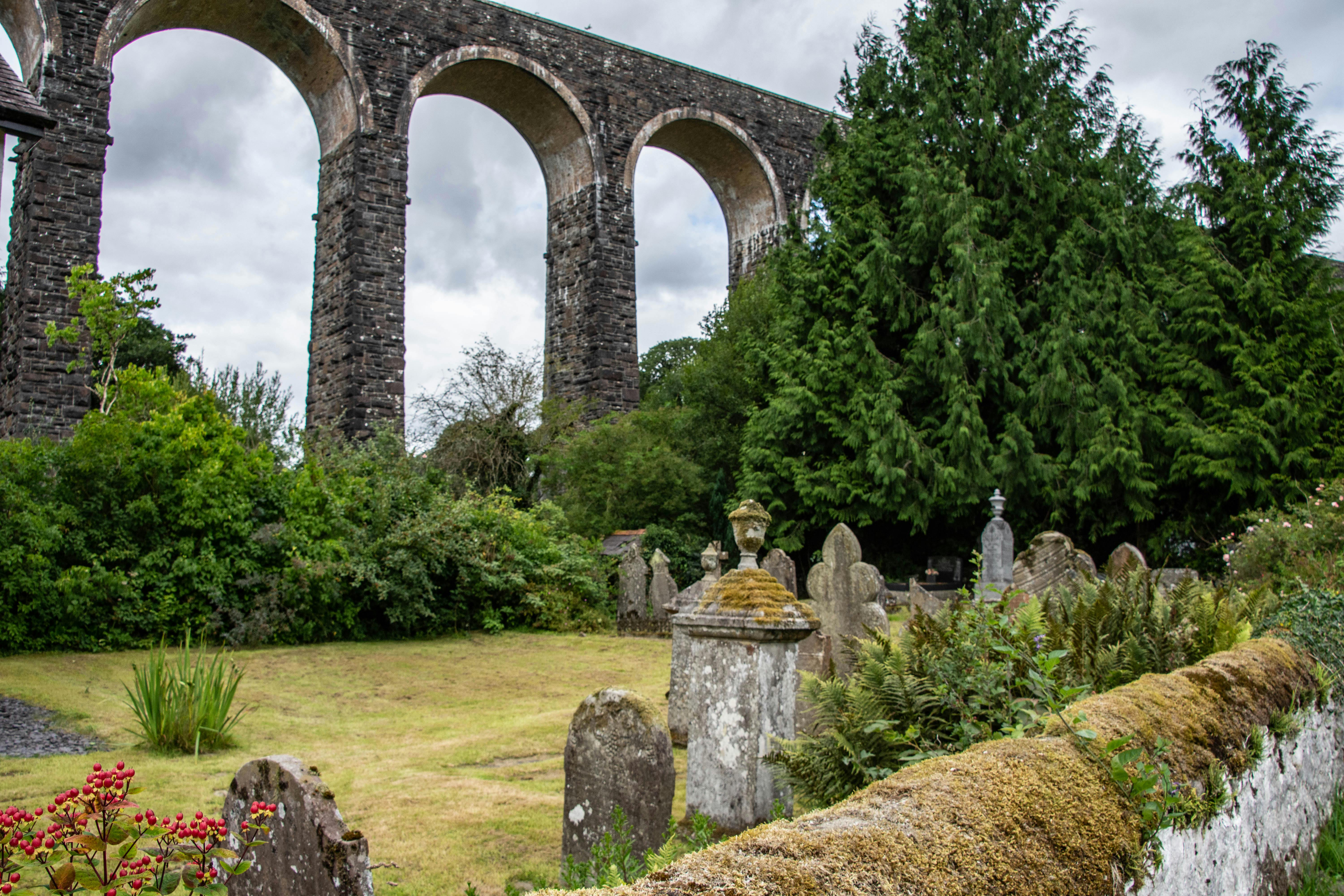
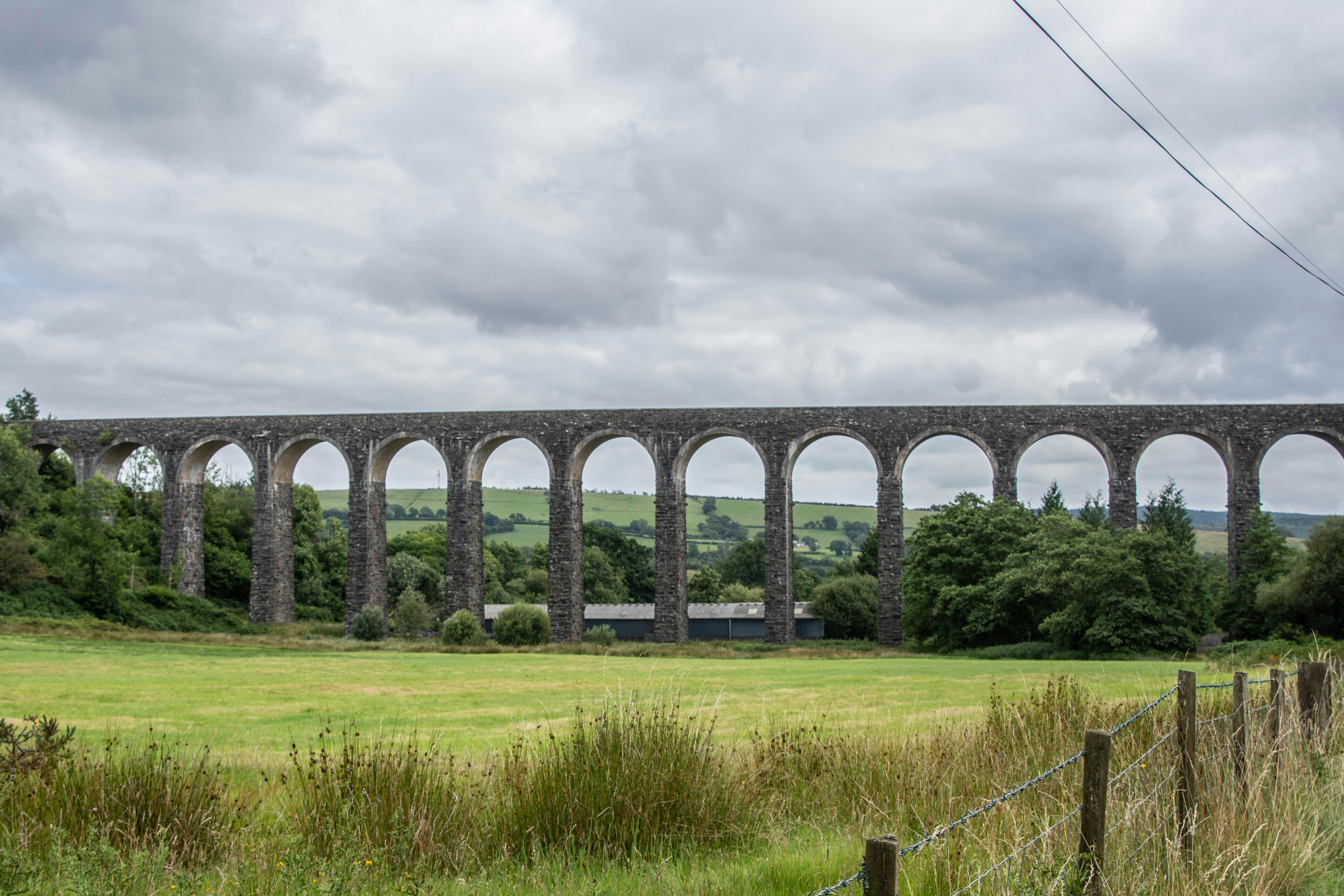
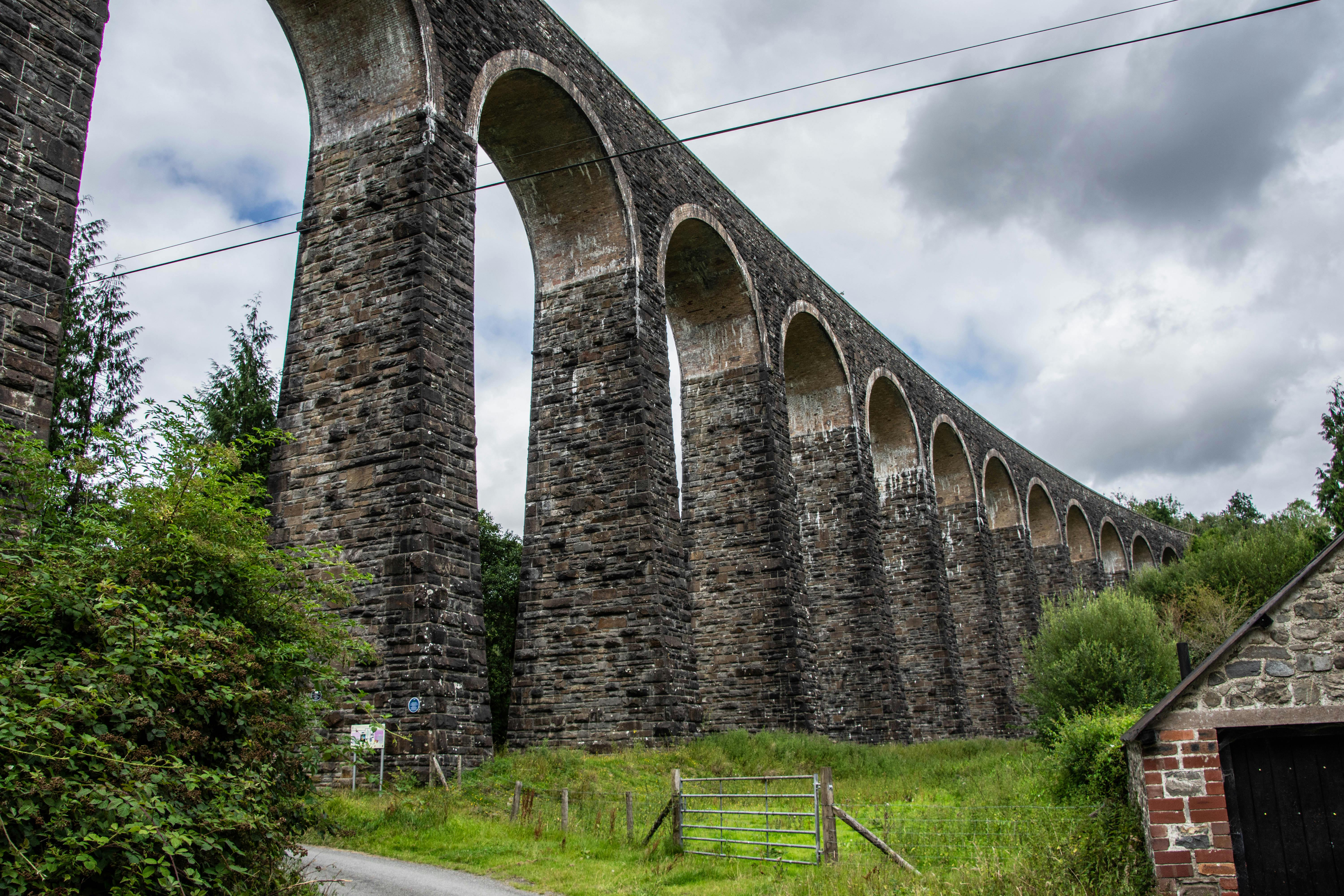
Cynghordy viaduct
Our final stop of the day was the spectacular Cynghordy viaduct. Opened in 1868, it’s a key link on the Heart of Wales line. Built from sandstone and brick, it has 18 arches and sits 102ft above the valley floor, spanning 850 feet. Just to the south of the viaduct is Cynghordy station but the viaduct is as far as we went today.
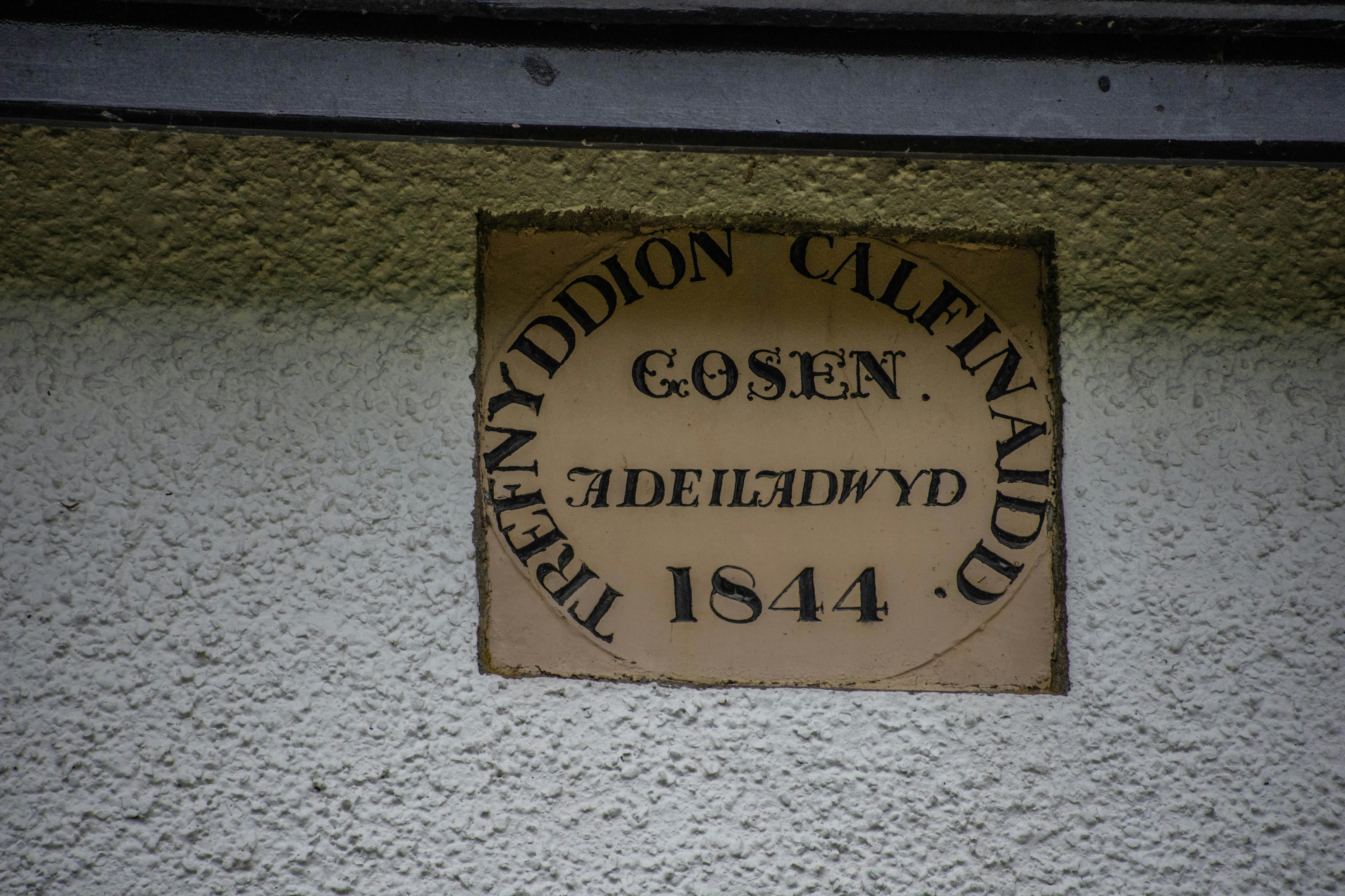
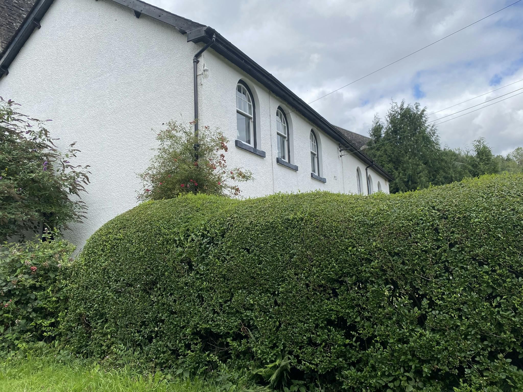
Sitting in the shadow of the viaduct is Gosen Calvinist Methodist Chapel which was built in 1844 and has its own graveyard which is still tended to. Thanks and credit to Nigel Reid for the photo of the chapel itself below as I completely forgot to take any.